Elevation: 3,136 ft
Prominence: 73
This peak is not in the book. Published November 2022
Gopher Knoll is a small butte that is located just off I-84 and east of the town of King Hill. This is area is a mix of private and public land, so be careful. This hike is entirely on BLM land. Due to private land, Gopher Knoll is best climbed from Baseline Road to its east. USGS Ticeska
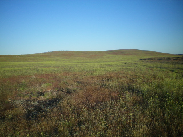
Gopher Knoll as viewed from the east. Livingston Douglas Photo
Access
From Exit 129 on I-84, drive north on Old Highway 30 for 0.1 miles to a signed junction with East Allen Road (“Gopher Knoll Road” on maps). Turn right onto East Allen Road and drive northeast then east to its end at a “T” junction with [unsigned] King Hill Loop Road/1750S. Turn right/east onto 1750S and drive 1.2 miles to a signed junction with Baseline Road, a county line road that separates Elmore County from Gooding County. Turn right/south onto Baseline Road and drive 0.3 miles. Park alongside the road here. There are no obvious roadside pullouts (3,060 feet). GPS coordinates: 42⁰57’27”N, 115⁰05’10”W.
East Face, Class 2
The Climb
From Baseline Road, bushwhack west across easy field grass with some embedded volcanic boulders/talus to reach a minor gully that splits the east face of Gopher Knoll. The high point is at the head of this gully, though it is not obvious. Scramble up the easy gully to the summit. There is no summit cairn.
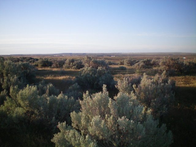
The summit of Gopher Knoll. Livingston Douglas Photo
Additional Resources