Elevation: 5,523 ft
Prominence: 133
This peak is not in the book. Published November 2022
Sugarloaf is a handsome butte that is located on the south side of the Rogerson-Jarbidge Highway. It is most easily climbed from the northeast. This area is a mix of private and public land, so be careful. While the summit is on private land (not fenced or posted), almost all of this hike is on BLM land. USGS Cedar Creek Reservoir
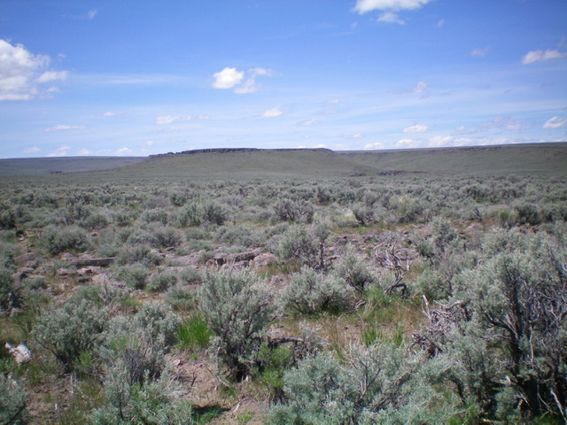
Sugarloaf’s rugged, cliffed east face. Climb the notch left of center to circumvent the cliff walls. Livingston Douglas Photo
Access
From Rogerson, ID, drive 16.3 miles west then southwest on the Rogerson-Jarbidge Highway (0.3 miles west of the Cedar Reservoir Road turnoff) to a cattle gate at the base of a BLM road on the south side of the highway. Park here (5,285 feet). GPS coordinates: 42⁰11’24”N, 114⁰54’02”W.
East Face, Class 2
The Climb
From the base of the BLM road, follow the left/west side of the fence row on a 2-track road. This fence row separates private land from BLM land early on (and then the land becomes entirely BLM land), though the fence row is not posted in any way. The road heads south then southwest. After hiking for about 0.6 miles from the highway, leave the road when it turns left/south and continue to follow the left/southeast side of the fence row as it heads southwest. When you reach a point that is due east of the summit of Sugarloaf (a large, rocky butte), cross the fence row and bushwhack west through sagebrush directly at the summit and across a dry gully on the way.
Once across the gully (and a 2-track road in the gully), climb up the east face to reach a break in the summit cliff band that is visible well before you reach it. This notch is located at the left/south end of the summit block and is just left/south of the summit high point. The notch shows up on the USGS topo map as the gap between a tower to the south and the main ridge crest to the north. Once on the summit crest, scramble briefly north up the rocky ridge to the high point. The summit plateau is flat and sagebrush-covered. The high point is a few boulders that are located just up from the notch in the cliff band, as per the USGS topo map and LOJ. There is no summit cairn.
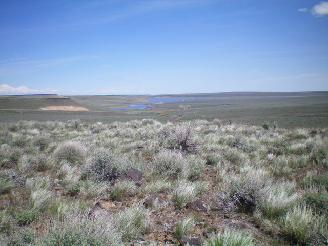
View of Cedar Reservoir from the flat summit plateau of Sugarloaf. Livingston Douglas Photo
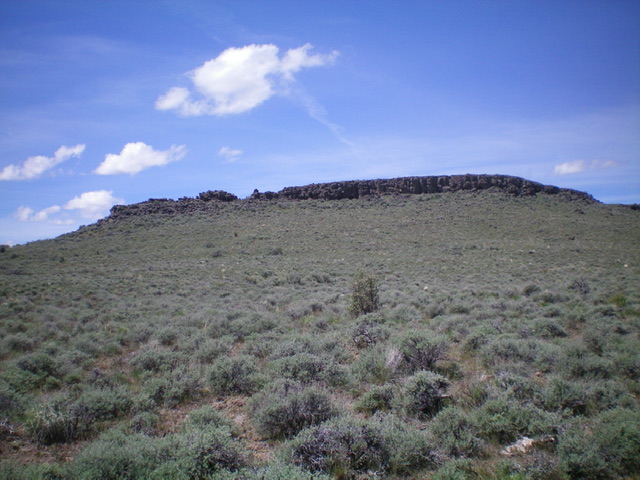
Sugarloaf (the flat butte in mid-ground) as viewed from the east. Livingston Douglas Photo
Additional Resources