Elevation: 5,991 ft
Prominence: 101
This peak is not in the book. Published November 2022
Bud Lewis Hill is located on the east side of the Rogerson-Jarbidge Highway. It is most easily climbed via its west face from the highway. This area is a mix of private and public land, so be careful. This hike is entirely on BLM land. USGS Cedar Creek Reservoir
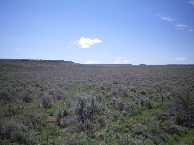
Bud Lewis Hill (dead center in distance) as viewed from the northwest. Livingston Douglas Photo
Access
From Rogerson, ID, drive 21.1 miles west then southwest on the Rogerson-Jarbidge Highway (5.1 miles southwest of the Cedar Reservoir Road turnoff) to a gated fence/road that goes onto private land on the right/north side of the highway. Park here (5,660 feet). GPS coordinates: 42⁰09’40”N, 114⁰58’43”W.
West Face/North Ridge, Class 2
The Climb
From the unsigned road junction, cross to the southeast side of the Rogerson-Jarbidge Highway and bushwhack southeast then east to reach the north ridge in a flat area. You must cross a stiff cattle fence early on. The terrain is somewhat tedious sagebrush and a cliff band must be skirted. Once on the north ridge, bushwhack south to the true summit ridge area. The high point is not obvious so you may need to use a GPS to be confident in your claim of standing on the summit. There is no summit cairn and the summit ridge area (which runs east-west) is covered with sagebrush. To expedite the descent back to the highway, descend northwest from the summit to more quickly reach the west face. Descend the sagebrush-covered west face northwest back to the highway and the unsigned road junction where your vehicle awaits.
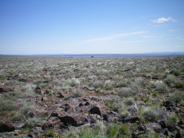
The flat summit area of Bud Lewis Hill. Livingston Douglas Photo
Additional Resources