Elevation: 6,014 ft
Prominence: 44
This peak is not in the book. Published November 2022
Mud Flat Hill is located at the crest of the Rogerson-Jarbidge Highway. It is on a ridgeline south of the highway. USGS Curtis Draw
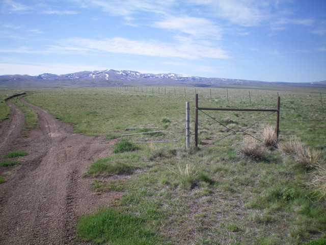
View of Mud Flat Hill (dead center) from The Rogerson-Jarbidge Highway. This hill is VERY FLAT. Livingston Douglas Photo
Access
From Rogerson, ID, drive 29.9 miles west then southwest on the Rogerson-Jarbidge Highway to a crest in the road. Park in a pullout area here (5,985 feet). GPS coordinates: 42⁰05’11”N, 115⁰06’08”W.
North Ridge, Class 2
The Climb
From the crest in the highway, follow a fence row south-southeast for about ¼ mile. Cross to the right/west side of the fence and head due south to the high point of Mud Flat Hill. The high point is well right/west of the fence row. The actual high point is difficult to ascertain since it is only about 30 vertical feet above the road crest. The terrain on this short hike is gapped sagebrush and is relatively easy to navigate.
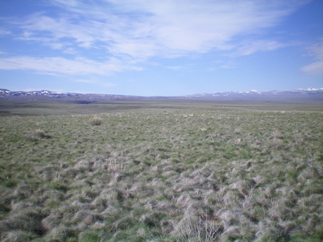
Summit view from the flat, sagebrush top of Mud Flat Hill. Livingston Douglas Photo
Additional Resources