This peak is not in the book. Published July 2020 Elk Summit is located 6.0 miles NNW of Elk City, Idaho. This forested summit has been used as a fire lookout since 1911 when a Crows Nest was constructed on the summit. A 100-foot tower was placed on the summit in 1934. This structure is still occasionally used on an … Continue reading
Book Updates
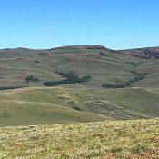
This peak is not in the book. Livingston Douglas climbed this peak and Peak 9344 from Horse Wallow. His route is set out below and on the Peak 9344 page. Updated November 2021 Peak 9578 is located west of Corral Creek Summit on the broad, complicated ridge that runs between Corral Creek Summit and Porphyry Peak. USGS Porphyry Peak Access … Continue reading
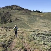
This peak is not in the book. Livingston Douglas added a new route starting at the Horse Wallow drainage which is set out down the page. Updated November 2021 Peak 9344 is located west of Corral Creek Summit on the broad, complicated ridge that runs between Corral Creek Summit and Porphyry Peak. USGS Lehman Butte Access Primary access is via … Continue reading
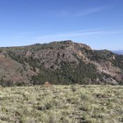
This peak is not in the book. Livingston Douglas added the southeast spur/east ridge route to this page. Updated November 2020 This attractive summit is located between on the broad, complicated ridge that runs between Corral Creek Summit and Porphyry Peak. USGS Lehman Butte Access Primary access is via the FS-142/Burma Road [(B)(2) on Page 265]. Follow the Burma Road … Continue reading
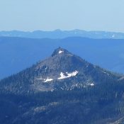
Climbing and access information for this peak is on Page 70 of the book. Published July 2020 North Pole is located roughly 17 miles SW of Elk City in the Gospel Hump Wilderness. Unlike its slightly taller neighbor, Buffalo Hump, it is easily reached by trail. A fire lookout was established on the peak in 1927. The lookout was decommissioned … Continue reading
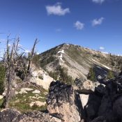
Climbing and access information for this peak is on Page 70 of the book. Three routes, all still viable, are listed in the book. The shortest route is described in more detail below. The trails in this area are infrequently maintained and expert trail-finding abilities may be required. Published July 2020 Oregon Butte is a shark tooth-shaped summit located 24 … Continue reading