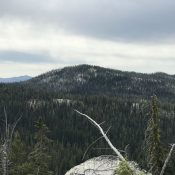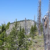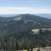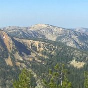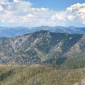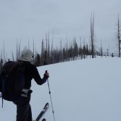
This peak is not in the book. Published August 2019 Warm Lake Point is located east of the north end of Warm Lake and the Warm Lake Lodge. While few have paid attention to this forested peak, John Platt recognized it as a potential Spring skiing opportunity. John’s trip report is linked below. USGS Warm Lake Access FS-411 and FS-411A … Continue reading