Elevation: 7,791 ft
Prominence: 304
This peak is not in the book. Published August 2019
This Rattlesnake Peak, one of 12 Idaho mountain high points using the name, is located on a ridgeline that forms part of the Western boundary of the Frank Church River of No Return Wilderness. The peak is flanked on the east by the Wolf Fang Creek drainage and in the west by Grouse Creek. Like the two drainages, the ridge containing Rattlesnake Peak descends rapidly to the South Fork Salmon River. USGS Wolf Fang Peak
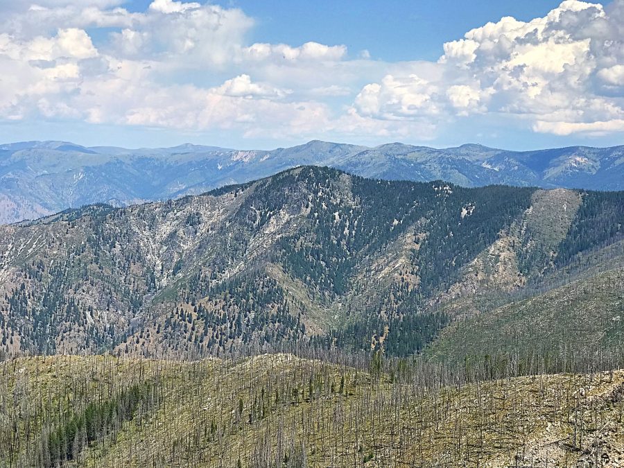
Rattlesnake Peak as viewed from Pilot Peak.
Access
Primary access for this peak is from the road that runs between Yellow Pine and Warren: FS-340 [(B)(3.2) on Page 137]. FS-341 leaves FS-340 3.5 miles west of Elk Summit and runs to Pilot Peak in 5.1 miles. Follow FS-341 toward Pilot Peak until you reach the Rattlesnake Mountain trailhead. Note that the trailhead is a little farther west than where it is shown on the maps. The road is steep in places but is no rougher than FS-340.
Traveling through this area of the Salmon River Mountains requires a high-clearance vehicle with good tires at a minimum. These roads traverse burned areas and there is a high probability of encountering downed trees on the road. Taking a chainsaw is not a bad idea.
South Ridge, Class 2
From the trailhead, follow FST-123 east and then north along the ridge to the point where the trail leaves the ridge top to traverse along the East Slopes of Rattlesnake Peak. Leave the trail at this point and follow the forested ridge to the summit. The summit is a couple of hundred feet lower than the trailhead so you will have more uphill on the return than you will on the “ascent.”
Additional Resources
Regions: Big Creek to Red Ridge Peaks->Central Salmon River Mountains->Salmon River Mountains->WESTERN IDAHO
Mountain Range: Central Salmon River Mountains
Longitude: -115.48479 Latitude: 45.21319