Article Index
Cottonwood Lakes Basin Backpacking Trip
Early in 2023 I suggested a Sierra backpacking trip in September to Laurie. “Let’s do it,” she replied. I recommended the Cottonwood Lakes area. We had quickly hiked through this expansive, lake filled basin in 2008 during the first two days of a Sierra Nevada thru hike. We lamented not spending time exploring its recesses. Laurie remembered our lovely camp and immediately agreed. As often happens after a day or two I questioned the wisdom of my suggestion. I was experiencing a nervous feeling of uncertain agitation. In other words ‘trepidation.’
Our 2008 camp at Long Lake.
So why my sense of trepidation? Age, elevation and ‘mental’ attitude topped my concerns. I do not think of myself as being old and I am not decrepit by any means. Still I was about to turn 72. The Sierra Nevada is true high country and most of the trip would be above ten thousand feet. Laurie and I have climbed 11ers in Utah the last couple of years but they were one day climbs and we slept at lower elevations. Nevertheless, I was somewhat confident the elevation issues could be dealt with.
So, my trepidation came down to the interplay between age and confidence. Mentally, no matter how strong you think you are it is easy to doubt your abilities as you age. It’s axiomatic that you are not as strong as you once were. The question is whether you are going to use age as an excuse to not try something.
Laurie and I have made three long, difficult Sierra trips with many off trail miles lasting between 5 and 10 days.
High Sierra Camps Loop, 2007, California, Yosemite
Sierra Nevada Backpack–New Army Pass to Shepherd Pass, 2008, California
Line of No Return: Evolution Basin, 2009, California
To sum up the mental side of my concerns of backpacking in later life it really just came down to wondering, “Was I really too old?” In the end, I decided that was a stupid question.
I started pawing through our equipment acquired over 50 years exploring the mountains. I had lots of options to choose from including 6 tents, 9 backpacks, Bear canisters (a requirement for backpacking in the Sierra), 4 water filters, 6 sleeping bags, 7 sleeping pads, 5 stoves and lots of assorted peripheral accoutrements. It was all in good shape and perfectly usable. Calculating the utilitarian value of each piece compared to its weight I picked out what I thought was the best combination. I weighed the two kits. I concluded that with food I would end up carrying 40 pounds and Laurie 32 pounds. Trepidation overtook me once again.
There was one element of aging I was willing to accept. Long gone were the days when I would carry 10 days of food, a 10 pound tent, a climbing rope, ice axe, crampons and a rack of climbing gear into the Wind River Mountains or anywhere else from that matter. What to do, what to do, I pondered. Well, I thought it is the age of the internet. I turned to YouTube and researched looking to discover the current state of the art in backpacking equipment.
I learned that time had brought many improvements to backpacking equipment. I learned about the “ultralight” equipment and that we could easily, with enough money, significantly lower the weight of our kit. The only impediment was sorting through the options. While my old standbys, The North Face, Gregory, Patagonia, MSR and others were still in business there were literally dozens of other equipment manufacturers producing highly rated lightweight equipment.
After hours of research I came up with a list of equipment to purchase. A Big Agnes tent alone knocked two pounds off my lightest tent and was 50 percent roomier. Next we bought REI Flash 55 backpacks which were over three pounds lighter than our Gregory backpacks. I struggled with making a decision on sleeping bags between our old Thermarest pads and newer, lighter air mattress pads. I bought three, tried them and returned them. We finally found a new comfortable Thermarest pad and decided to use one of our older pads. Recalculating I figured we would be able to carry reasonably light loads. My goal with our food was 28 pounds for Laurie and 32 pounds for me.
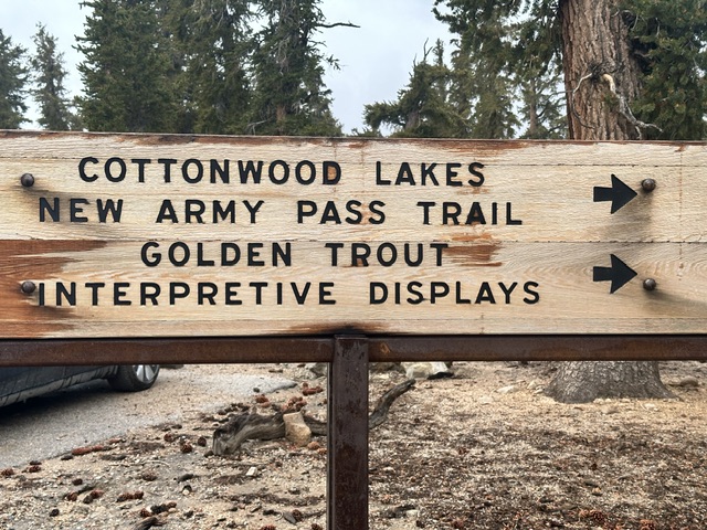
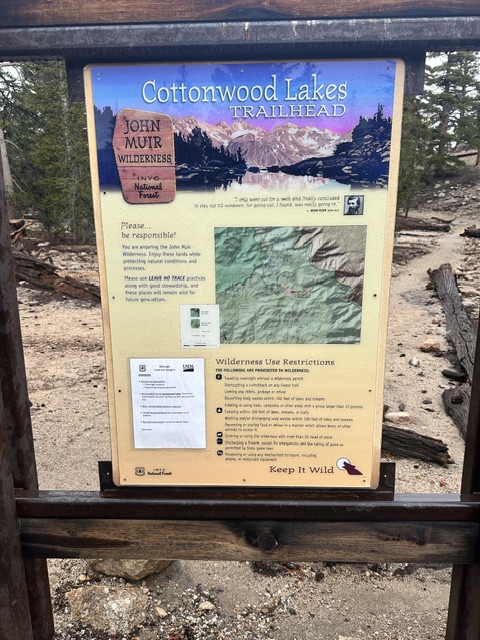
Now, I turned to the next hurdle—getting the required wilderness permit. Permits to hike in the Sierra have been required for nearly 50 years and during the summer they are difficult to get as the demand always exceeds the quota for most trailheads. Eleven years earlier you simply called the Forest Service and a friendly employee would help you find a starting date, take your money and let you know where you could pickup your permit the day before your trip began. I found times have changed. Now, permits are issued on recreation.gov the first batch can be secured six months in advance and the remainder two weeks before your starting date.
I check the Cottonwood Lakes trailhead quota and found that there would be twenty permit spaces available on our proposed starting date. I marked my calendar and two weeks ahead of our date logged on only to find that all remaining spaces for the remainder of the year had been opened. This was inconsistent with the published rules. Worse, all the spaces for our starting date were gone. In a panic I grabbed a permit for the next available date which wasn’t ideal. This was especially true for Steve Grantham who was planning on joining us.
The next day I checked on recreation.gov. I found our original starting date was now available likely due to a cancellation. I grabbed the dates. We finalized our plans which included Steve generously volunteering to drive. On September 9th we left Boise and made the ten hour drive to Bishop, California. Everything looked great.
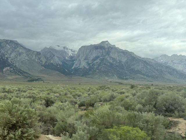
The only significant thing that has changed in Bishop since my first visit in 1972 is that it is even more crowded, if that is possible. We stayed at a well beaten motel and woke up to find stormy skies. Evidently, the remnants of a tropical storm had crept up into the southern Sierra. The various weather forecasts we checked were non committal on what we could expect over the next few days. After some debate we decided to drive to the trailhead. It rained all the way.
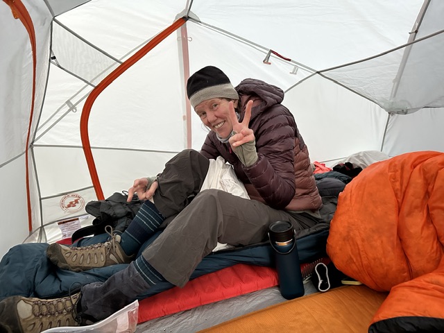
The morning rain did not,look,encouraging.
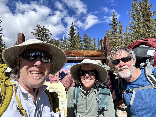
At the crowded trailhead we found hikers dressed in rain gear hoisting their packs. Like lemmings we followed suit. We hiked through intermittent, light showers. The temperature hovered around 45 degrees.
Rain covers came in handy.
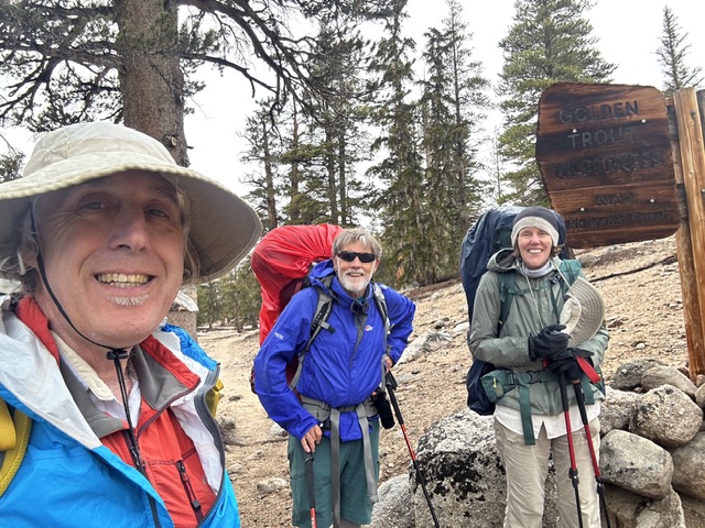
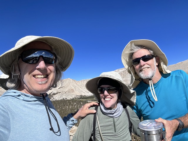
The happy hikers starting up the trail.
The damp mountains smelled fresh and clean. The trail undulated up and down for the first two miles with a few stream crossings. The final three miles climbed steeply.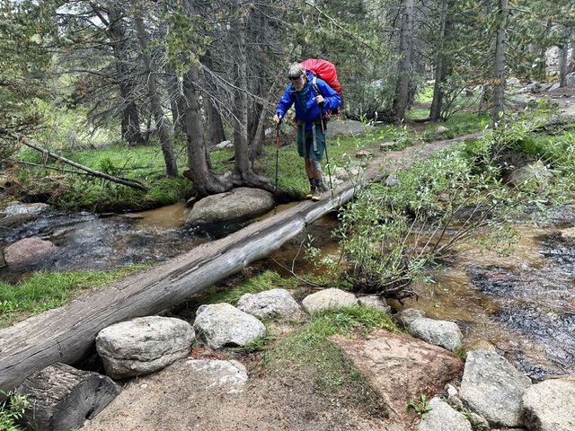
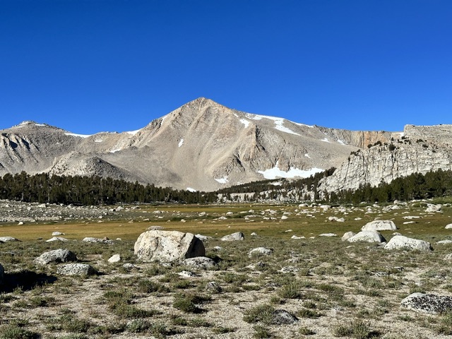
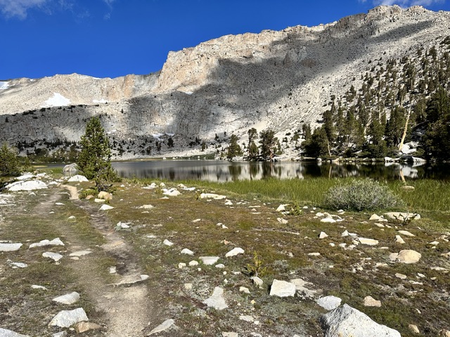
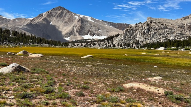
After 5 miles and 1,100 feet of gain we arrived at the lower Cottonwood Lakes basin. Happily the weather was clearing. We found a nice sheltered campsite at the edge of an expansive meadow. Our camp was at 10,400 feet.
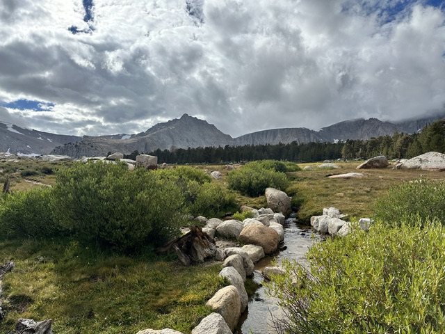
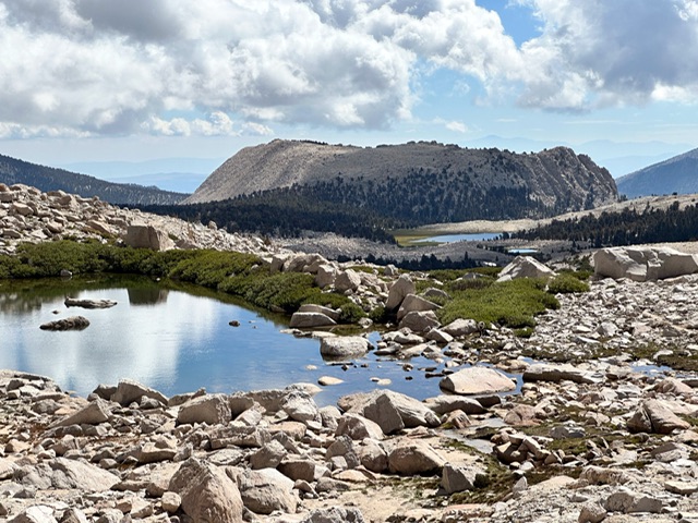
The beginning of the basin’s extensive meadows near our camp.
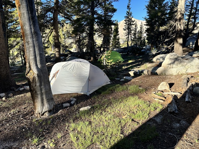
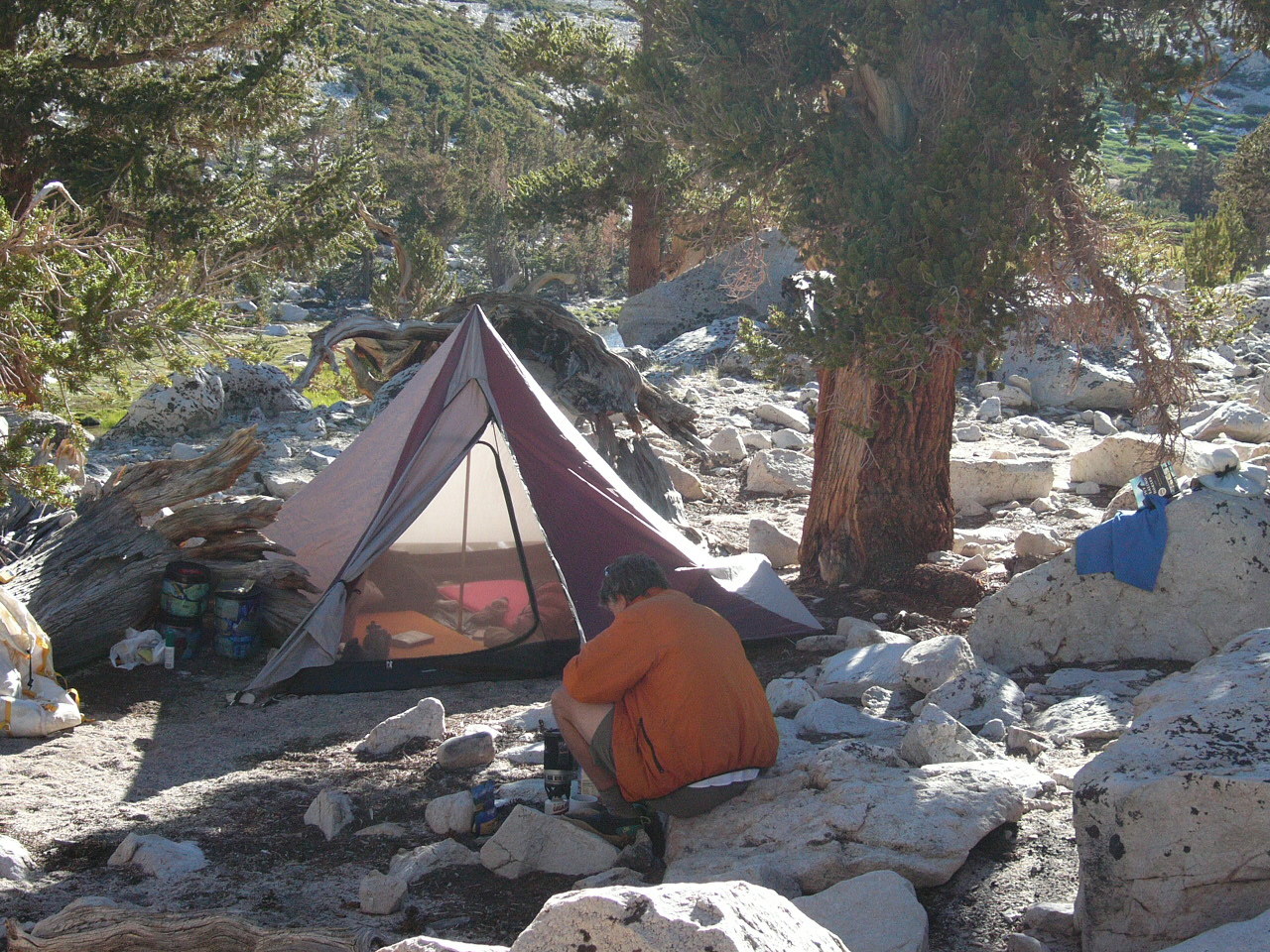
Our camp shelter in the trees.
Our new tent.
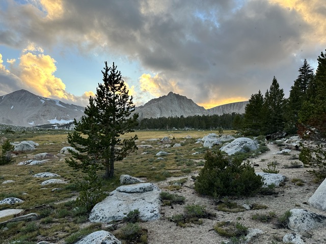
The storm began to clear as the day ended.
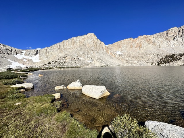
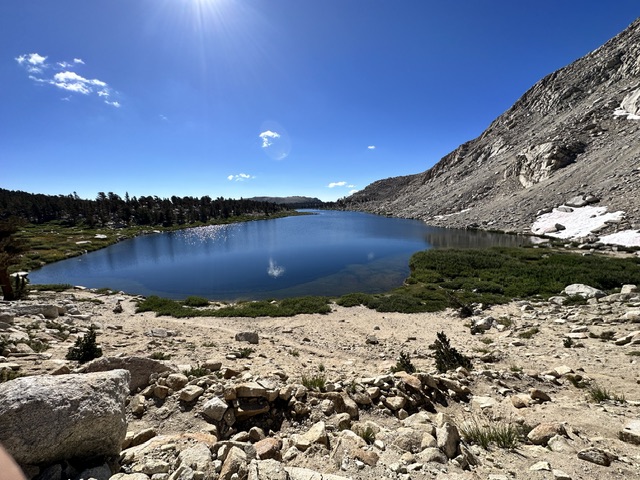
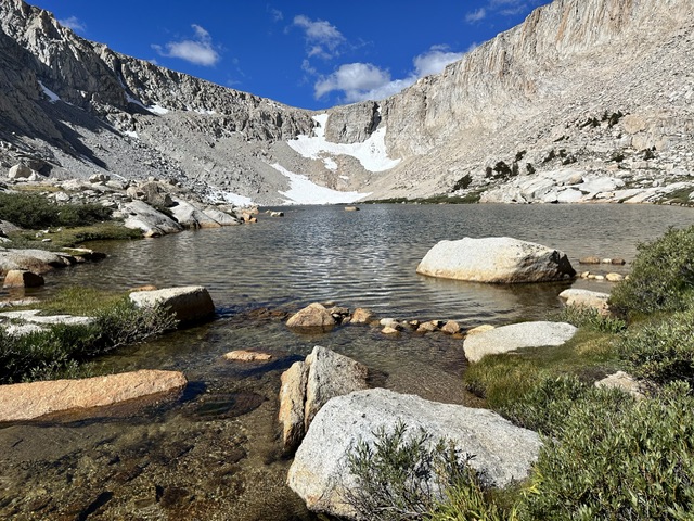
On September 11th we woke to a beautiful cloud free morning. We hiked across the valley and climbed Golden Trout Crag. This large hump shaped peak looked like a rocky, talus covered mess from the meadow near our camp but turned out be an easy walk with good footing almost the entire distance. After descending we hiked to scenic South Fork and Cirque lakes. After 5 miles of scenic hiking we arrived back at camp at 1pm.
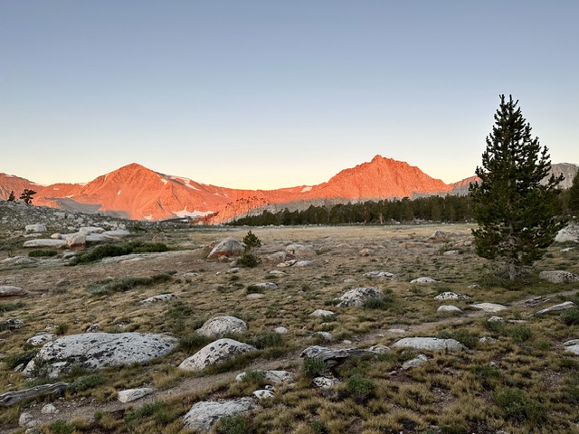
Morning on day two.
Crossing a meadow as we hike to the base of Golden Trout Crag.
Golden Trout Crag. Steve Grantham Photo
Laurie and an impressive granite wall near the summit of Golden Trout Crag.
Steve on the summit of Golden Trout Crag.
The summit.
Another view of Golden Trout Crag. Steve Grantham Photo
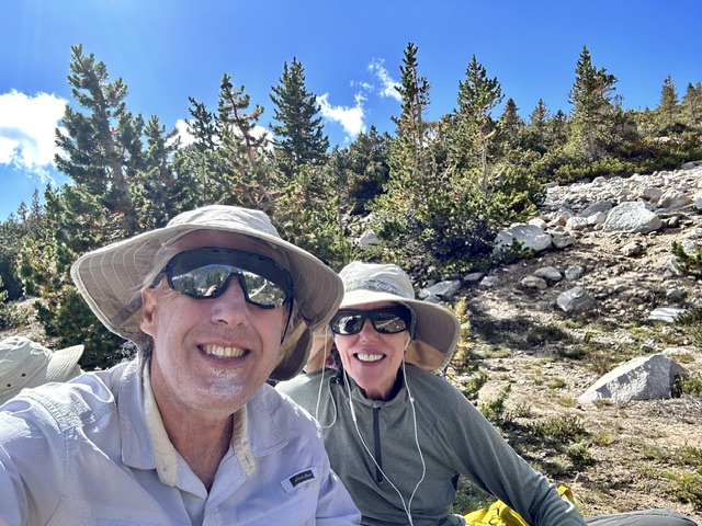
Afternoon at camp.
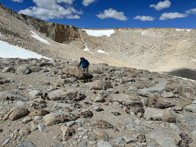
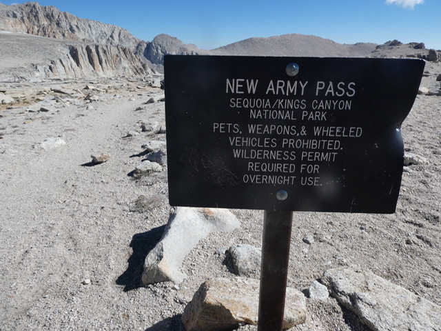
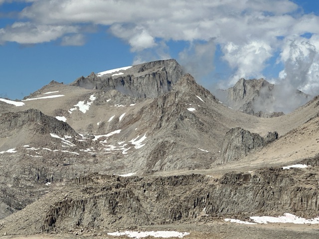
The next day I woke up feeling hashed as my body was feeling the effects of the altitude. We had bigger plans this day. After breakfast the three of us headed off to climb Cirque Peak which at 12,900 feet would be the highest peak I had climbed in many years. The peak is located almost due south of New Army Pass. Our original plan was to climb the peak from the pass. However, as we reached the last lake below the pass Cirque Peak’s upper north rib looked enticing and a much quicker way to the summit. Off we went climbing southwest into a cirque. At roughly 12,000 feet we turned southeast and climbed a hump shaped slope to the base of the peak’s north rib. The rib was much steeper and we occasionally scampered up Class 3 obstacles. We reached the summit after hiking 4 miles and gaining 1,900 feet. Steve was hoping to climb Mount Langley the next day so we decided to return via New Army Pass which would allow him to make a good reconnaissance of his proposed route.
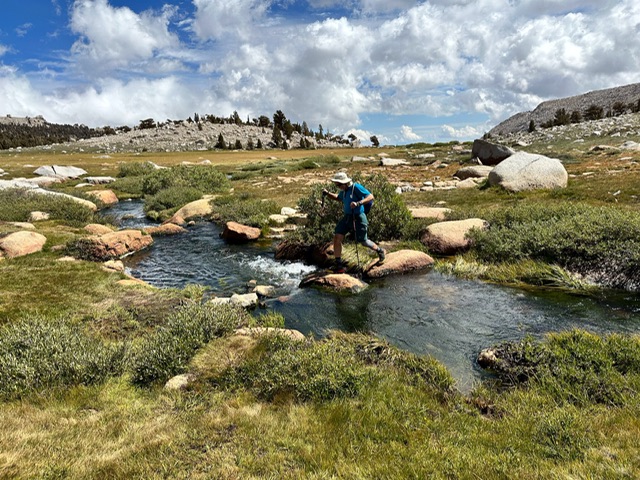
Steve crossing one of the many creeks in the basin.
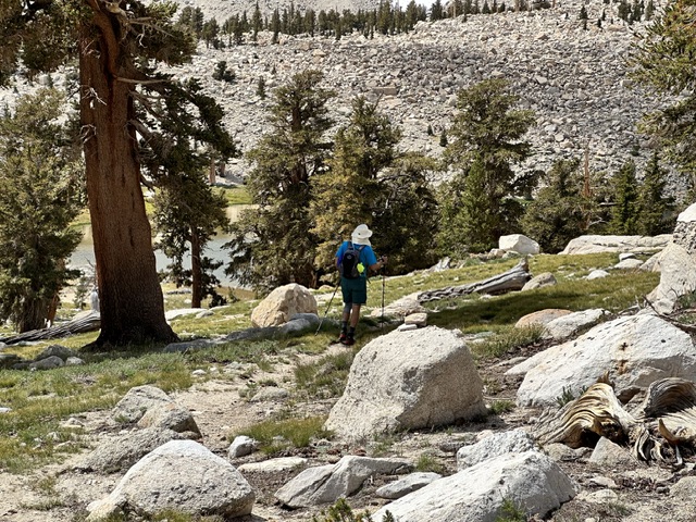
Hiking toward New Army Pass.
Rest break.
Cirque Peak
Hiking toward the north rib of Cirque Peak.
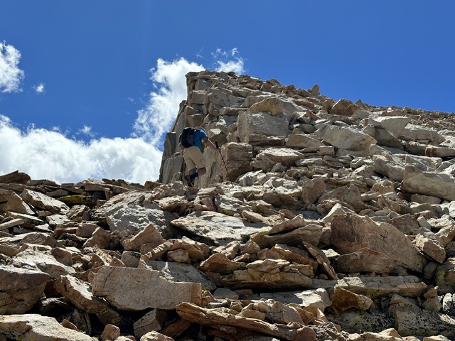
Climbing the north rib.
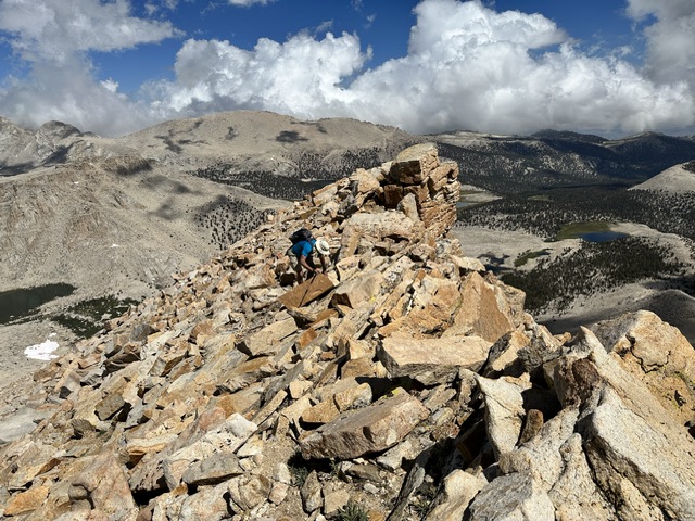
Steve nearing the summit.
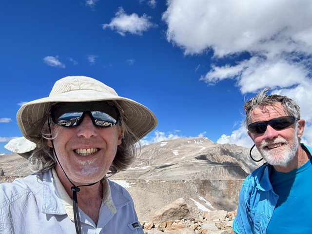
On the summit of Cirque Peak with Mount Langley in the background.
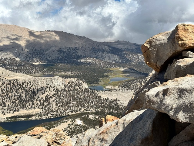
Looking toward our camp across the basin from the summit of Cirque Peak. Steve Grantham Photo
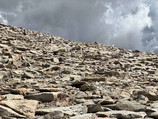
The long ridge walk to New Army Pass crossed endless stretches of boulders.
Mount Whitney
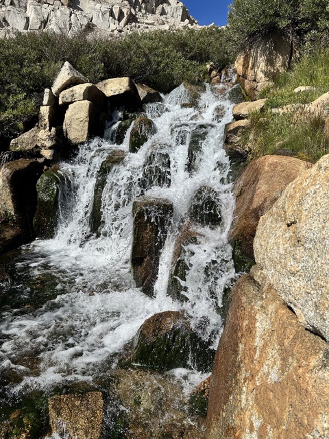
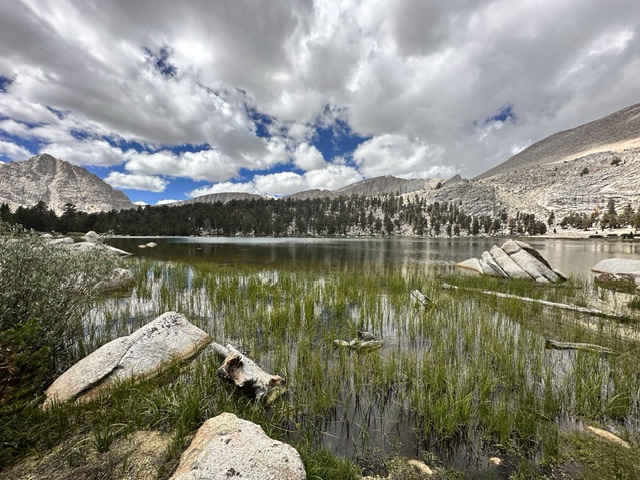
The next day Steve was off early to make his Langley summit attempt. Laurie and I made a leisurely day exploring the rest of the basin’s lakes including the Cottonwood Lakes and Muir Lake. The hiking allowed us to enjoy the waterfalls and wildflowers along the way. Back at camp we waited for Steve to return from his impressive 14 miles, 4,000 foot round trip excursion to Mount Langley.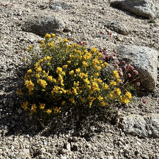
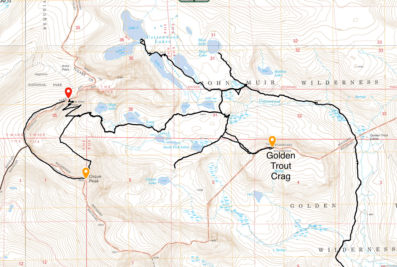
The black lines are my GPS tracks that Laurie and I followed.
September 14th came and like all backpacking trips you eventually have to hike out of the mountains regretting the shortness of your stay and fantasizing about your next trip. Trepidation was replaced by renewed enthusiasm for backpacking.
Back at the trailhead.