Boulder Mountain 8377

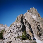
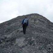
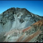
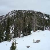
Climbing and access information for this peak is on Page 114 of the book. Below you will find John Platt’s new and interesting route for this peak. Updated April 2018 This peak, one of 3 Idaho summits named Boulder Mountain, offers great views and is one of the easier summits to climb in the McCall area. As of July 2001, … Continue reading

Black Tip Mountain and Black Tip

Climbing and access information for Black Tip (8,292 feet) is on Page 111 of the book. Black Tip Mountain (8,500 feet) is not in the book. The description in the book is somewhat misleading. The book entry is for the formation known as Black Tip. The peak known as Black Tip Mountain is the high point of the massif and … Continue reading

Packrat Peak

Climbing and access information for this peak is on Pages 195-196 of the book. Packrat’s Northeast Ridge Route and its summit block are one of the classic Sawtooth climbs. Below are a few photos of the climb. USGS Warbonnet Peak The summit block is the crux for most climbers on this technical peak. There is a link below to a … Continue reading

Far Away Mountain (Peak 11930)

Climbing and access information for this peak is on Page 283 of the book. Updated September 2018 Far Away Mountain is one of the most remote Lost River Range peaks. It is the 14th-highest Idaho summit and one of the least-climbed 11ers. Despite its remote location, it is a great climb. I think it is best done by backpacking up … Continue reading

Favorite BOULDER MOUNTAINS

The Boulder Mountains are comprised of four major divides: The Northern Divide, the Sheep Divide, the East Fork Salmon/North Fork Big Lost Divide and the Boulder Front (covered below). The range is composed of granite, Challis Volcanic material and highly metamorphosed rocks that have been extensively shattered and faulted. These mountains encompass a wide variety of mountain shapes over a … Continue reading

Malad Range

The Malad Range is a Great Basin limestone uplift that straddles the Idaho/Utah border. It is tucked into the western slopes of the Bannock Range just east of 1-15. The southern end of the range extends into Utah, where it reaches over 8,000 feet in elevation. Boundaries of the range include Malad Valley on the west, ID-36 thru Weston Canyon … Continue reading