Elevation: 11,930 ft
Prominence: 550
Climbing and access information for this peak is on Page 283 of the book. Updated September 2018
Far Away Mountain is one of the most remote Lost River Range peaks. It is the 14th-highest Idaho summit and one of the least-climbed 11ers. Despite its remote location, it is a great climb. I think it is best done by backpacking up Dry Creek to the point where the drainage forks at 8,200 feet. There are some great camping spots in this area and the trail is in good shape. Keep in mind that the start of the trail on the North Side of Dry Creek involves driving through a deep stream crossing. It is best to wait until the Spring runoff ends. You also have two wide stream crossings as you hike up the canyon. Since the book was published, climbers have ascended Far Away Mountain from the west via Upper Cedar Creek. USGS Massacre Mountain
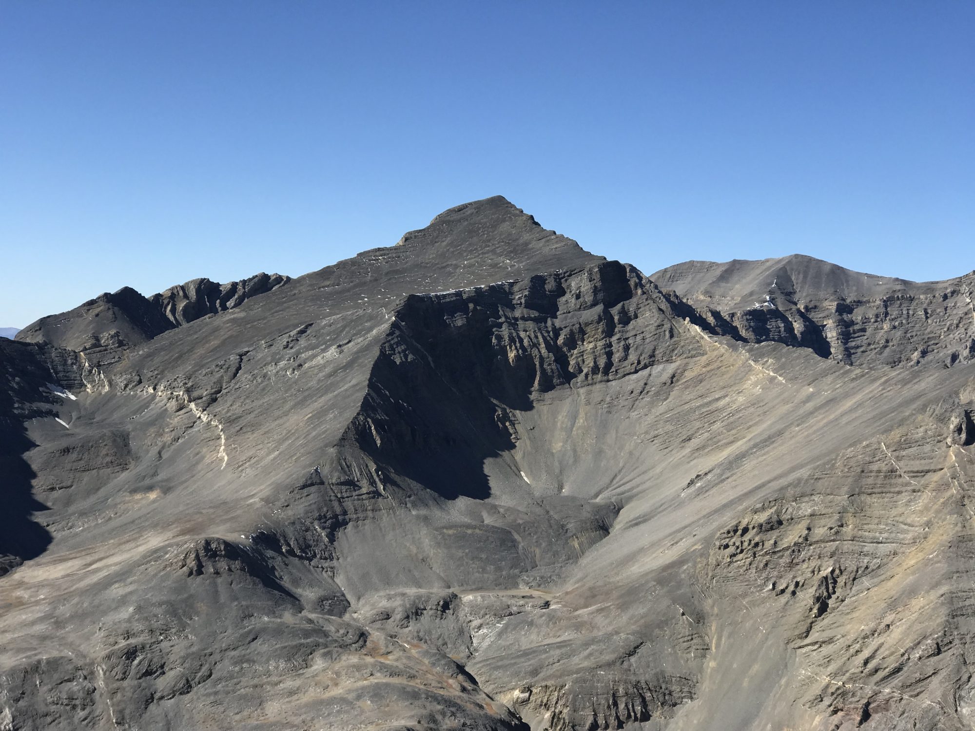
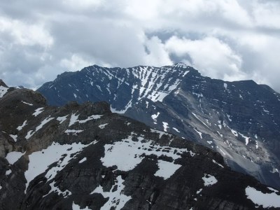
Far Away Mountain as viewed from Ferguson Peak.
Below our photos from my climb.
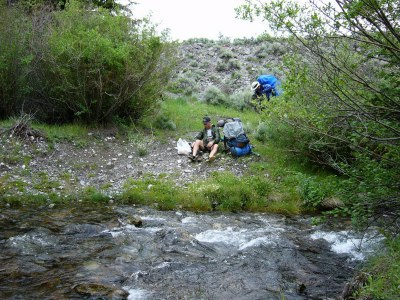
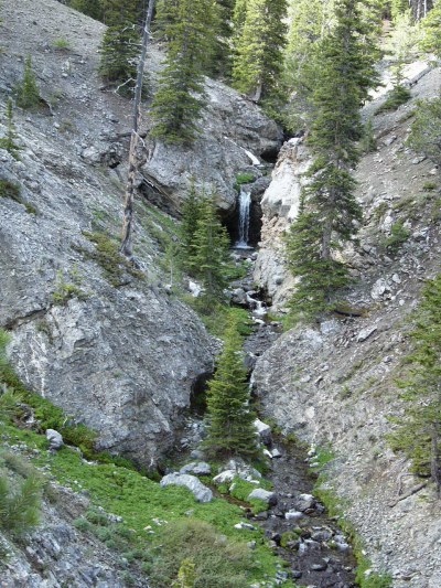
The first stream crossing.
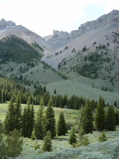
The view from camp at 8,200 feet. Triple Peak is above and to the left.
The route leaves the camp and climbs up the Left Fork of Dry Creek. There is no best route. Game trails can be found on both sides of the creek. Find your best route up the canyon. Its a good place to meditate on suffering.
The suffering will eventually ease a bit and pay off as you get above the trees.
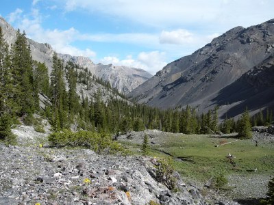
Keep following the canyon up as it turns due west.
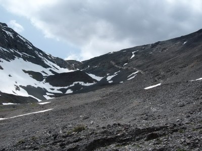
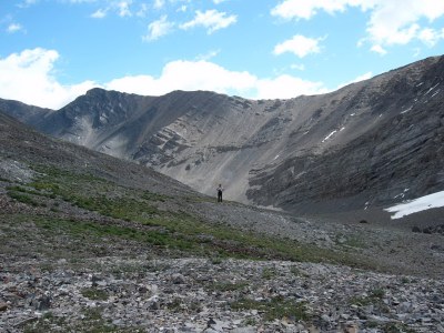
The headwall is Talus Hell. The summit is off to the right of this photo. We climbed up through the right center of this photo and then descended the East Ridge.
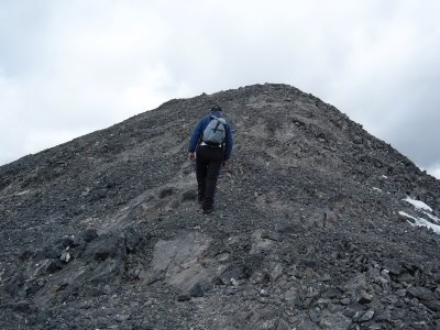
Almost on top.
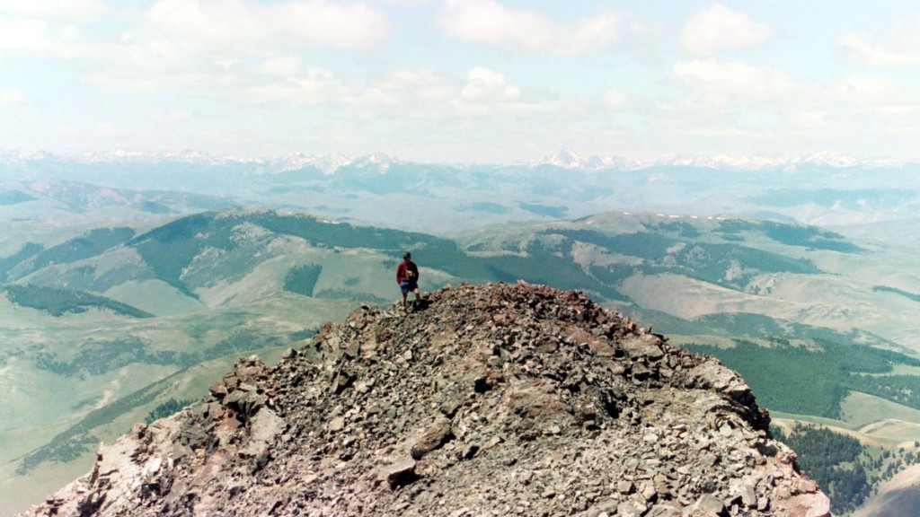
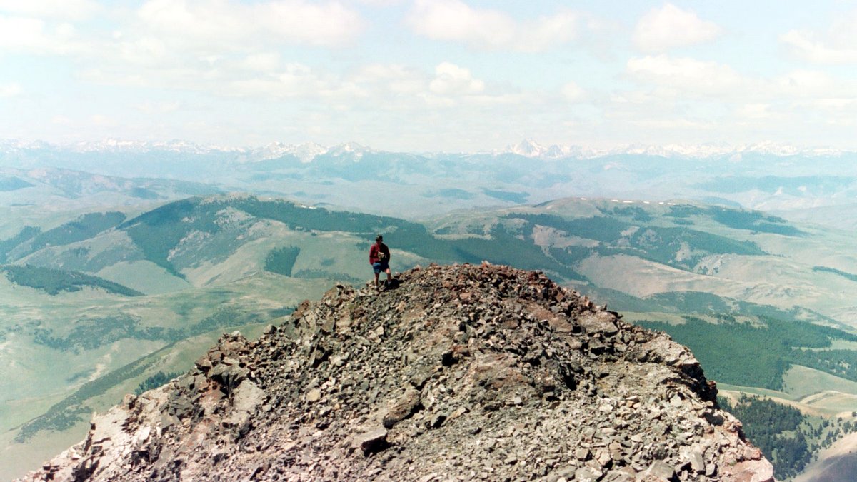
The views from the summit of Far Away Mountain are awesome. This is the North Face of USGS Peak.
Additional Resources