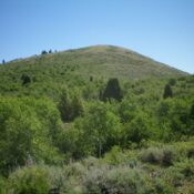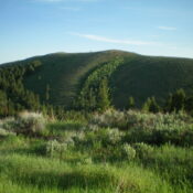
This peak is not in the book. Published January 2023 Peak 7730 is located due north of Wooley Range HP. It is the high point on a ridgeline that overlooks the Rasmussen Valley to its northeast. The shortest ascent route is from Rasmussen Valley Road. This is the second leg of a 2-peak adventure that includes Wooley Range HP and … Continue reading