Elevation: 7,166 ft
Prominence: 936
This peak is not in the book. Published January 2023
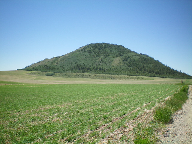
China Hat is the larger/higher of two pyramidal humps that are located just below the south end of Blackfoot Reservoir. Its little brother is called China Cap (6,716 feet). Well, I guess that fits. Both China Hat and China Cap require crossing private property, so please obtain permission from the landowner(s) before attempting a climb of either peak. Both peaks can be easily accessed from China Cap Road or close to it. But they each require a difficult, steep bushwhack in dense terrain. USGS China Hat
China Hat as viewed from the east. Livingston Douglas Photo
Access
From ID-34 at the southeast corner of Blackfoot Reservoir, drive west on [signed] China Cap Road for 1.4 miles to a signed junction with Dike Road. Continue west on China Cap Road for another 0.2 miles to a large pullout on the right/north side of the road just prior to reaching a gravel pit. Park here (6,160 feet). GPS coordinates: 42⁰48’55”N, 111⁰36’04”W.
Northeast Face, Class 2
The Climb
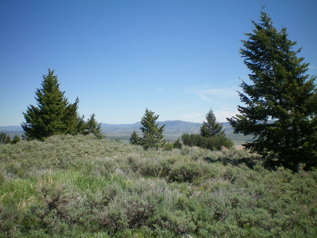
From the parking pullout, cross to the south side of China Cap Road and bushwhack southwest up through a thick forest of pines and aspens with dense brush, downed timber, and moss-covered ground boulders. Thankfully, the summit cap is much more open and even offers views to the south and east. The summit high point is a rocky/brushy hump. It is the southernmost of three summit humps. There is no summit cairn on top.
The summit of China Hat. Livingston Douglas Photo
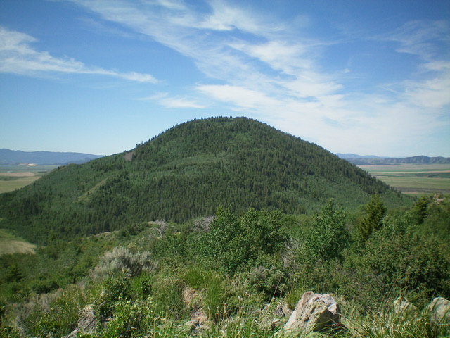
China Hat as viewed from the summit of China Cap to its northeast. Livingston Douglas Photo
Additional Resources
Regions: Aspen Range->Peale Mountains->SOUTHERN IDAHO
Mountain Range: Peale Mountains
Longitude: -111.6039 Latitude: 42.8076