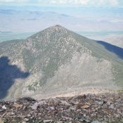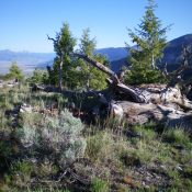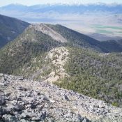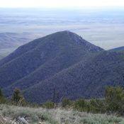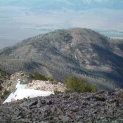
This peak is not in the book. Published December 2019 Peak 9381 is a charred hump that is the southernmost point on the south ramparts of Peak 10349. It separates Tater Canyon from Morse Creek Canyon and towers over Morse Creek by over 3,000 vertical feet. The easiest ascent route is via FST-071 and the northeast ridge. USGS May Mountain … Continue reading