Elevation: 8,365 ft
Prominence: 465
This peak is not in the book. Published December 2019
Peak 8365 is a hidden, forested summit that sits above Gallagher Canyon but is overshadowed by Peak 9300 to its south. It can only be reached by an unpleasant bushwhack. The shortest bushwhack is from Gallagher Canyon, but it’s not easy. Peak 8365 is Peak #5 of five summits in a single-day adventure called the Tour de Gallagher. USGS Copper Mountain
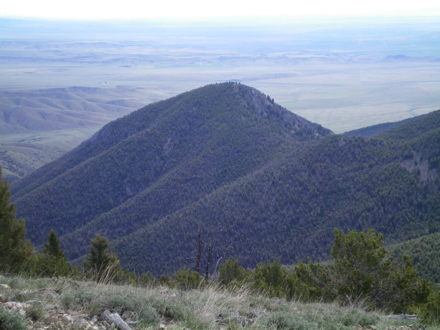
View of forested Peak 8365 (dead center) from the southeast ridge of Bloom Benchmark. Livingston Douglas Photo
Southwest Ridge, Class 2
Access
Same as for the east ridge of Gallagher Peak (9,825 feet). This is the final leg of a ridge traverse from Peak 9300 to Peak 8365.
The Climb
From the saddle at the base of the southwest ridge, bushwhack up through an open pine forest with the help of an elk trail on the left/northwest side of the ridge. You quickly reach the flat summit area. The high point is obvious and is in open terrain with scattered pines. I found a small cairn there and enlarged it.
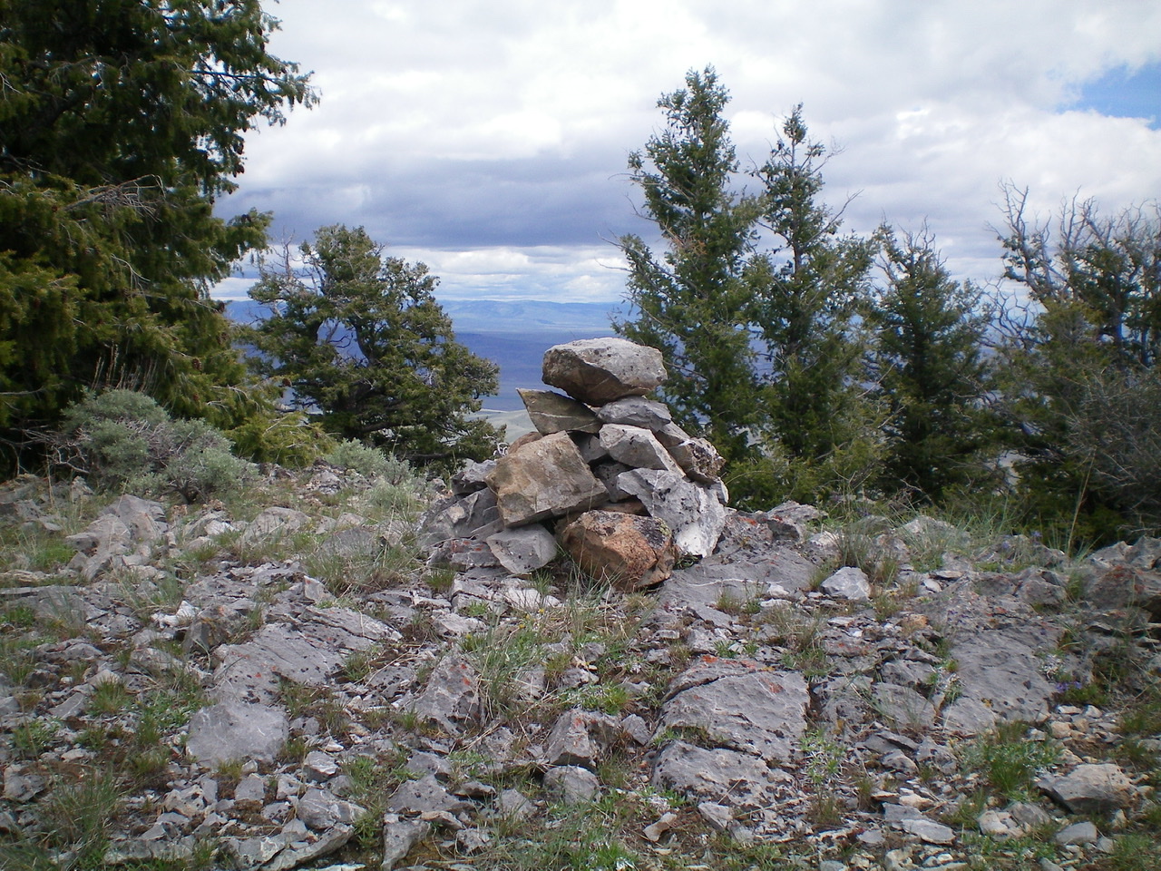
The summit cairn atop Peak 8365. Livingston Douglas Photo
Northwest Ridge, Class 2+
Access
Same as for the southwest ridge. This is the final leg of a loop route that begins and ends at the mouth of Gallagher Canyon. This long journey is summarized in the Tour de Gallagher trip report.
The Descent
From the summit, descend northwest through open pine forest. You will soon find the northwest ridge. The terrain includes areas of rocky outcrops, thick brush, copious blowdown, and some underlying loose scree. This descent is not fun. Maintain a northwesterly trajectory and aim for a prominent fork in Gallagher Canyon at the base of the ridge. Regrettably, the ridge loses its definition and becomes more of a face descent.
The final 300-400 vertical feet of descent is a battle down through thick brush with a loose scree base. When you emerge on the open canyon floor, find an old 2-track road and follow it right/northeast to reach a road closure gate in a meadow at the canyon fork. Follow Gallagher Canyon Road east from here for 1-1/2 miles back to the mouth of the canyon and your parked vehicle.
Additional Resources
Regions: Beaverhead Range->EASTERN IDAHO
Mountain Range: Beaverhead Range
Longitude: -112.75139 Latitude: 44.14189