Elevation: 8,835 ft
Prominence: 455
This peak is not in the book. Published December 2019
Peak 8835 is a forested hill that sits above the junction of Badger Creek Canyon and Bunting Canyon. It is an inconsequential bump on the LONG south ridge of Peak 10954. The easiest ascent route is the south ridge via Badger Creek Road. USGS Badger Creek
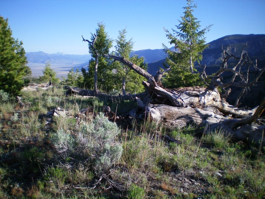
The summit area of Peak 8835. Livingston Douglas Photo
South Ridge, Class 2
Access
Badger Creek Road (signed) is located 23.3 miles north of Howe on the Little Lost River Highway (paved). Turn right/east onto Badger Creek Road. After crossing a cattle guard, make an immediate right/east turn BEFORE reaching a nearby gravel pit. At 4.5 miles, you reach the mouth of Badger Creek Canyon and a small grassy meadow and a parking/camping area. Park here (6,750 feet).
The Climb
From the mouth of Badger Creek Canyon, scramble northwest up steep but easy desert scrub to reach the toe of the south ridge. Follow the ridge northeast to Point 7814 then drop to a small saddle on easy, open scrub. From the saddle, climb north up through reasonably easy pine forest to reach the mix of trees and open scrub on the summit of Peak 8835. There is a very small cairn on top, near a large, fallen tree.
East Shoulder/East Gully, Class 2
Access
Same as for the south ridge
The Descent
From the summit, descend the east shoulder. Contrary to what the USGS topo map shows, this shoulder is only forested on its left/north side. Much of the shoulder is open terrain. Stay to the right/south of the forest to enjoy blowdown-free scrambling and good visibility on how to reach the valley floor. The east shoulder has some rocky outcrops with embedded ledges. Avoid them by staying in the open scrub to the right/south. The shoulder ends at a narrow gully that heads east to the main north-to-south gully. Pick up a good use trail (an unofficial MC trail) that leads down this side gully into the main gully. Surprisingly, this side gully lacks brush or blowdown.
You will quickly reach the main north-to-south gully. Head right/south down this wide gully. Continue to follow the unofficial MC trail until it joins an old 2-track jeep road which leads south to an open meadow and an old shack. Cross to the east side of Badger Creek at this old shack and walk across easy field grass to reach Badger Creek Road on the far side of the meadow near its junction with Bunting Canyon Trail. Follow Badger Creek Road back to the mouth of the canyon and your parked vehicle.
Additional Resources
Regions: EASTERN IDAHO->Lemhi Range
Mountain Range: Lemhi Range
Longitude: -113.15309 Latitude: 44.11439