Peak 8313 by Livingston Douglas

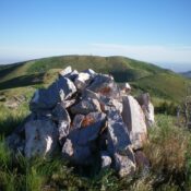
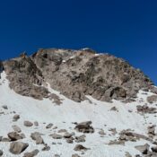
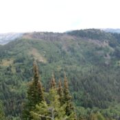
This peak is not in the book. Elevation and prominence figures are based on recent LiDAR measurements. The USGS Quad shows an elevation of 8300. Published March 2026 Peak 8313 is located above Castle Lake and the Thousand Springs Valley in the Big Hole Mountains. Peak 8313 is a rugged, steep peak that is most easily approached via FST-077 (an … Continue reading

Peak 8133 by Livingston Douglas

This peak is not in the book. Elevation and prominence figures are based on recent LiDAR updates. The USGS quad shows an elevation of 8,130 feet. Published March 2026 Peak 8133 sits above the confluence of Baker Creek and East Fork Baker Creek in the Smoky Mountains. It is most easily climbed via its north ridge from the Easley Gulch … Continue reading

Peak 6868 by Livingston Douglas

This peak is not in the book. Elevation and prominence figures are based on recent LiDAR updates. The USGS quad shows an elevation of 6,860 feet. Published March 2026 Peak 6868 separates Heglar Canyon from Houtz Canyon in the Sublett Range. It also sits at the head of Dairy Canyon. Peak 6867 is most easily climbed from a 2-track road … Continue reading

Peak 10192 (Big Reward Peak) by Derek Percoski

This peak is not in the book. Elevation and prominence figures are based on recent LiDAR updates. The USGS quad shows an elevation of 10,168 feet. Published January 2026 Big Reward Peak sits between Reward Peak and Elk Peak, but it does not play well with its neighbors. Combining it with other peaks requires detours to avoid technical terrain. This … Continue reading

Pass Benchmark

This peak is not in the book. Elevation and prominence figures are based on recent LiDAR updates. The USGS quad shows an elevation of 10,765 feet. Published January 2026 The Boulder Mountains’ Pass Benchmark is located between Long Tom Peak and Peak 10874 on a ridgeline that runs north from the main Boulder Mountains Crest at Griswold Peak. Long Tom … Continue reading

Peak 10347 (Divide Peak) by Derek Percoski

This peak is not in the book. Elevation and prominence figures are based on recent LiDAR updates. The USGS quad shows an elevation of 10,331 feet. Published January 2026 This peak is located on the Boulder Mountains Front northwest of Rock Roll Peak. It towers over Lake Creek which drains its southwest face. USGS Rock Roll Canyon Access Divide Peak … Continue reading