Elevation: 6,970 ft
Prominence: 510
This peak is not in the book. Published November 2023
Peak 6970 sits on a high ridgeline on the east side of Fourth of July Creek in the Beaverhead Mountains. This area is a mix of private and public land, so be careful. It is most easily climbed via its southwest ridge from a public access point at 3.5 miles up Fourth of July Creek Road/FSR-071 on BLM land. USGS Shewag Lake
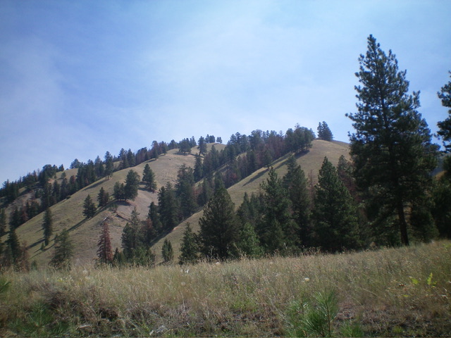
The west side of Peak 6970 as viewed from Fourth of July Creek Road. The summit is not in view. Livingston Douglas Photo
Access
From US-93 north of Salmon, turn right/northeast onto [signed] Fourth of July Creek Road/FSR-071 [(A)(2) on Page 328] and drive 5.1 miles to reach the National Forest boundary at a cattle guard. At 5.2 miles, reach a pullout on the left/west side of the road. Park here (5,090 feet; 45⁰24’17”N, 113⁰51’37”W).
Northwest Spur/North Ridge, Class 2
The Climb
From the pullout, cross to the east side of FSR-071 and bushwhack steeply southeast up through brush and some deadfall to reach the crest of the northwest spur. Scramble southeast up the semi-open ridge through steep grass, scattered pines, and deadfall to reach the north ridge in a flattish area at about 6,000 feet. Head right/south on the north ridge. This ridge is a brutal bushwhack in a combination of thick scrub and extensive deadfall.
Thankfully, there are a few ridge sections of easy field grass without much blowdown. The summit of Peak 6970 is a fallen tree (how apropos) and is clearly the high point in the semi-open forest. There were no signs of previous ascent so I built a decent cairn atop the fallen tree’s exposed roots.
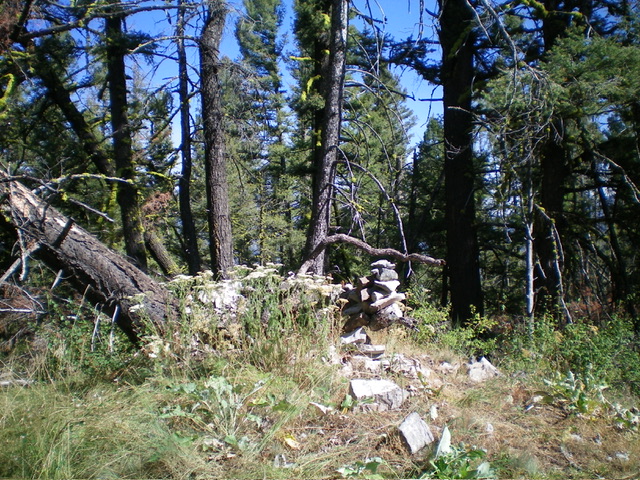
The summit of Peak 6970, looking north. Livingston Douglas Photo
North Ridge/West Face, Class 2
The Descent
From the summit, descend the north ridge down to about 6,620 feet. Leave the ridge and bushwhack northwest down the steep face in thick forest to return to FSR-071 just right/north of the National Forest boundary. This descent route is more unpleasant than the ascent route, so I do not recommend it.
Additional Resources
Regions: Beaverhead Range->EASTERN IDAHO
Mountain Range: Beaverhead Range
Longitude: -113.8570 Latitude: 45.3889