Elevation: 8,066 ft
Prominence: 446
This peak is not in the book. Published November 2023
Peak 8066 is a ridgeline hump on the Continental Divide and the ID/MT border. Years ago, it had a trail to the summit. But that trail is long gone and the peak requires a bushwhack via its northwest ridge or south ridge. USGS Big Hole Pass
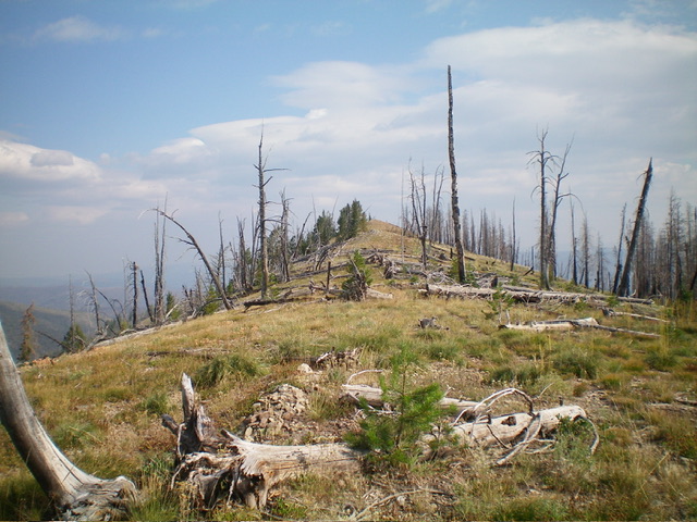
Peak 8066 as viewed from the northwest. Livingston Douglas Photo
Access
Same as for Perce Peak (8,300 feet). This is the second leg of a 2-peak adventure that includes Perce Peak and Peak 8066. It covers 11.0 miles with 2,725 feet of elevation gain round trip.
Map Errors
The USGS topo map shows the CDT climbing up over Peak 8066 when it, in fact, skirts the west side of that peak to reach the 7,462-foot saddle that connects Peak 8066 to Perce Peak (8,300 feet). The CDT has less ups and downs than the USGS topo map indicates as it skirts most of the ridge humps and/or skirts them at a lower level (e.g., for Point 7779).
Northwest Ridge, Class 2
The Climb
From the 7,462-foot connecting saddle with Perce Peak, bushwhack east then southeast then south up through a mix of field grass and tedious deadfall in a burn area. Use the remnants of an old trail to assist in the scramble up the northeast ridge. The old trail is located on the ridge crest and has lots of loose rock on it and fallen trees across it, so it is of limited use. Follow the ridge crest to the summit of Peak 8066. The high point is obvious and is on an open ridgeline. There was no summit cairn so I built one.
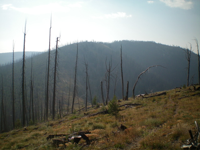
The summit hump of Peak 8066 as viewed from high on the south ridge, my descent route. Livingston Douglas Photo
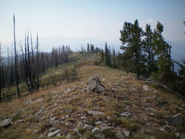
The newly-built summit cairn atop Peak 8066, looking south along the summit ridge. Livingston Douglas Photo
South Ridge, Class 2
The Descent
From the summit, descend south down the open ridge in a somewhat tedious mix of snags, charred deadfall, and field grass to intercept the CDT just right/west of the saddle at the base of the south ridge. There is no trail on the south ridge to assist in this bushwhack.
Additional Resources
Regions: Beaverhead Range->EASTERN IDAHO
Mountain Range: Beaverhead Range
Longitude: -113.8061 Latitude: 45.5994