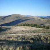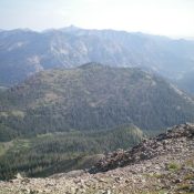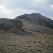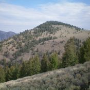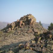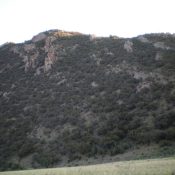
This peak is not in the book. Published November 2021 Peak 8244 is located south of Willow Creek Summit on a long ridgeline that runs along the west side of US-93. It is most easily climbed from Dry Gulch to its west via a dry gully with a 2-track road in it. A final scramble up the east ridge puts … Continue reading