Peak 10692 Revised by Livingston Douglas

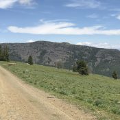
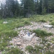
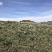
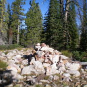
This peak is not in the book. Livingston Douglas revised this page with a new route and new photos. Elevation and prominence figures reflect recent LiDAR updates. Historically, a number of climbers have scrambled over this peak on their way to North Twin. Ken Jones used FS-214 to approach the peak from the north. FS-214 is not in the book … Continue reading

Peak 10199 (Sawmill Hill)

This peak is not in the book. The map elevation is 10,195 feet. LiDAR calculations place the elevation at 10,199 feet. The unofficial name was proposed by Rick Baugher. Derek Percoski climbed this peak in 2018 as part of loop that also included White Cap Peak. Livingston Douglas climbed the west face and descended the north ridge in 2024. Both … Continue reading

Peak 10420 by Livingston Douglas

Climbing and access information for this peak is on Page 269 of the book. The route in the book utilizes the southeast gully to reach the summit. Livingston Douglas climbed a new route, the southeast face/southeast ridge. The last photo on the page shows the the entire peak. Updated November 2021 Peak 10420 is located east of the main Pahsimeroi … Continue reading

Peak 10340 (Judas Peak)

Peak 10340. Derek Percoski Photo

This peak is not in the book. Derek Percoski likely made the first ascent. Livingston Douglas added photos. Updated November 2021 Peak 10340 is located a little over a mile SSE of Hope Peak via a ragged ridge.  USGS Grouse Creek Mountain Access Access these routes from Christian Gulch [(C)(4) on Page 294]. Routes by Derek Percoski Southeast Face, Class … Continue reading

Peak 10615 (Linebacker Peak)

Climbing and access information for this peak is on Page 266 of the book. The book lists the elevation at 10,615 feet. LiDAR measurements have confirmed this elevation. Updated November 2024 This peak is the northwestern-most 10,000-foot summit in the Lost River Range. USGS Grouse Creek Mountain … Continue reading