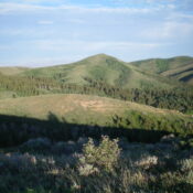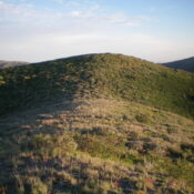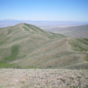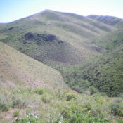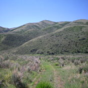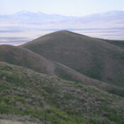
This peak is not in the book. Published January 2023 Eagle Point is a beautiful hump that sits north of Shirley Creek and east of the vast, open Raft River Valley. This is the second leg of a 2-peak journey that includes Peak 6711 and Eagle Point (6,558 feet). This adventure covers 4.5 miles with 1,800 feet of elevation gain … Continue reading