Elevation: 6,629 ft
Prominence: 329
This peak is not in the book. Published January 2023
Peak 6629 is located at the head of South Heglar Canyon. The easiest approach is from a jeep road up South Heglar Canyon to its north. This is the second leg of a 2-peak adventure that includes Peak 6611 and Peak 6629. This journey covers 6.0 miles with 2,375 feet of elevation gain round trip. USGS North Heglar Canyon
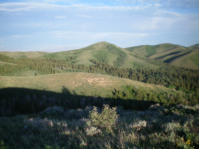
Peak 6629 as viewed from Peak 6611 to its east. The ridge traverse is a tedious, brushy, up-and-down affair of over two miles. Livingston Douglas Photo
Access
Same as for Peak 6611. This is the second leg of a 2-peak journey that begins along Lake Fork Road.
East Ridge, Class 2
The Climb
From the 6,180-foot connecting saddle with Peak 6611, follow the weaving, undulating ridge crest southwest then west then northwest to reach the summit of Peak 6629. Much of the ridge crest has a fence row. The terrain is sagebrush and scrub. It is tedious but not difficult. There is a ridge section of short grass/scrub around Point 6487 and its neighbor hump to the east. The final saddle below Peak 6629 is thick with vegetation and brush with some trees and bushes to boot.
The summit of Peak 6629 is open and has a decent summit cairn. There are numerous gullies, humps, and ridges on this ridge traverse so pay attention to make the correct turns and twists in order to not go off course. The numerous ups-and-downs of the ridge traverse from Peak 6611 to Peak 6629 really add up: 860 feet of uphills from Peak 6611 to Peak 6629. And 855 feet of uphills from Peak 6629 back to Peak 6611. Return to Peak 6611 and descend its northeast ridge to your parked vehicle
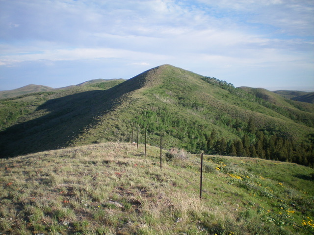
The final approach to the summit of Peak 6629. Only one more brushy saddle to navigate. Livingston Douglas Photo
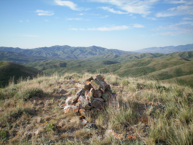
The summit cairn atop Peak 6629. Livingston Douglas Photo
Additional Resources
Regions: SOUTHERN IDAHO->Sublett Range
Mountain Range: Sublett Range
Longitude: -113.07321 Latitude: 42.38459