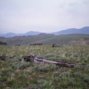
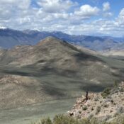
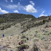
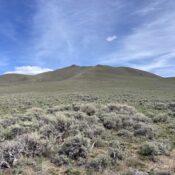
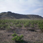
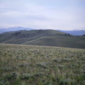
Bluebird Mountain by Livingston Douglas

This peak is not in the book. Published November 2020 Bluebird Mountain is a beautiful peak with thick forest on its northern aspects and a very rugged, rocky southeast face. It separates Chandler Canyon to its north from Bear Wallow Canyon to its south. The easiest ascent route is from Chandler Canyon via its northeast face. With an ATV or … Continue reading

Horse Ridge by Livingston Douglas

This peak is not in the book. Published November 2020 Horse Ridge is a broad, long, gentle ridge that separates Chandler Canyon to the west from Black Horse Canyon to the east. The easiest ascent route is from the Chandler Canyon Road/FSR-202 to its west. You may need an ATV or MC to make it that far up the [often-rutted] … Continue reading

Peak 10323 by Livingston Douglas

This peak is not in the book. The elevation and prominence figures reflect recent LiDAR updates. Updated March 2025 Peak 10323 is a rugged, rocky outcrop on the narrow northwest ridge of Copper Basin Knob (10,784 feet). Thanks to LiDAR updates, it is now a ranked summit. The north face of Peak 10323 is very steep. Its easier northwest face … Continue reading

Peak 9540 by Livingston Douglas

This peak is not in the book. Published November 2020 Peak 9540 is a gentle mountain but it is a behemoth that dominates the area at the southeast corner of Copper Basin. What it lacks in pure elevation, it more than makes up for in girth. It is most easily climbed via its south side from the Mine Canyon 2-track … Continue reading

White Mountains East by Livingston Douglas

This peak is not in the book. Published November 2020 White Mountains East is the [lower] east summit of the White Mountains complex located at the southwest corner of Copper Basin, above the Star Hope Campground. There are three summits on the White Mountains Ridge: White Mountains West (9,623 feet), Point 9440+, and White Mountains East (9,289 feet). This climb … Continue reading

Peak 4545

This peak is not in the book. Published November 2020 This cone-shaped peak is located south of Grand View, Idaho and northeast of Rough Mountain. It is one of four peaks that bracket Poison Gulch at the far southeastern end of the Owyhee Mountains. USGS Rough Mountain Access Poison Gulch is accessed from Poison Creek Cutoff Road which, in turn, … Continue reading