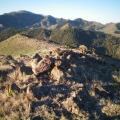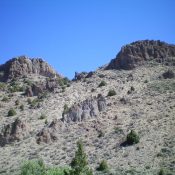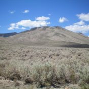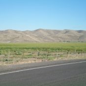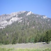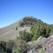
This peak is not in the book. Published November 2021 Peak 8714 is located between Upper Brown Canyon and Lower Brown Canyon in the White Knob Mountains. USGS Shelly Mountain Access This is the first leg of a 2-peak adventure that includes Peak 8714 and Peak 8500. It covers 7.0 miles with 2,650 feet of elevation gain round trip. From … Continue reading