Elevation: 7,385 ft
Prominence: 165
This peak is not in the book. Published November 2021
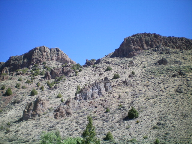
Table Mountain is an impressive, seldom-climbed, rocky buttress located on the east side of Alder Creek. Its west side and south side are both sheer faces. The summit is the left/northwest of two summit humps. It is difficult to see any feasible route from Alder Creek Road but there is one. Read on. USGS Shelly Mountain
Table Mountain as viewed from Alder Creek Road. The left rocky hump is the summit. Climb the gully between the two rocky humps. Livingston Douglas Photo
Access
From the junction of Main Street and US-93 in Mackay, drive 2.4 miles south on US-93 to a signed junction with Houston Road. Turn right/south onto Houston Road and drive 2.0 miles to an unsigned junction with Alder Creek Road. Turn right/south onto Alder Creek Road and drive 1.6 miles to an unsigned junction at a private ranch and a sharp right/southwest turn in the road. Reset your odometer here. From the unsigned junction, drive southwest on Alder Creek Road. At 2.9 miles, reach the Challis National Forest boundary. At 5.0 miles, reach a signed road junction. Go straight to remain on Alder Creek Road. At 5.3 miles, reach an informal campsite on the right/east side of the road alongside Alder Creek. Park here (6,780 feet).
Southwest Gully/Southeast Ridge, Class 3
The Climb
From the campsite, cross Alder Creek on boulders/logs then scramble northeast up a steep hillside scrub and loose scree, aiming for a gap/gully between a prominent rocky buttress to the right (the southwest summit) and the rocky summit block to the left/west. Once in the gully, climb diagonally left up the gully, skirting the base of cliffs on the right/east side, to reach the saddle between the two summits. The gully is relatively easy scrub and scree.
Once atop the summit plateau at the head of the gully, the climb is now entirely on rock and becomes serious. Scramble left/northwest up Class 3 face rock then a gully/chute to get close to the summit block. Turn left/southwest and leave the chute to climb more face rock and boulders to reach the airy summit of Table Mountain. There was no cairn on top so I built a small one with the few loose rocks that I could find.
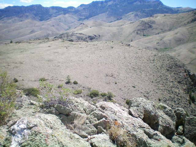
Looking down from the summit at the [lower] flat southeast summit. This is the “table” of Table Mountain. Livingston Douglas Photo
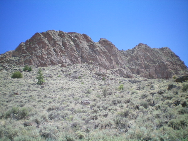
The sheer west face of Table Mountain. Livingston Douglas Photo
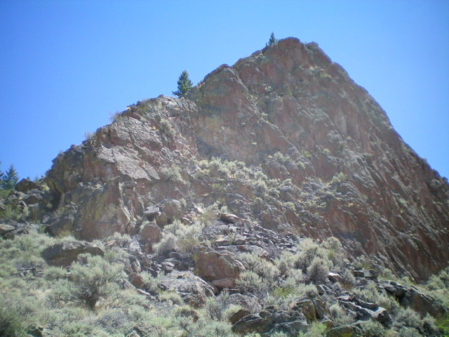
Looking back up the rocky northwest ridge of Table Mountain (left skyline). Livingston Douglas Photo
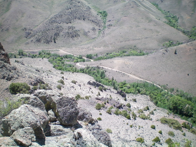
Looking down at the convergence of Alder Creek (diagonal lower right to upper left) and Trail Creek (center right) from the summit. Livingston Douglas Photo
Northwest Ridge/West Face, Class 3
The Descent
From the summit, descend the northwest ridge (not as steep as the ascent route), staying right/east to downclimb one or two Class 3 cliff bands. Once you get down to a flat saddle-like area at the top of the west face, descend a Class 3 headwall (located just right/north of the sheer section of the west face). From the base of the headwall, descend the somewhat steep face of open scrub and talus/boulders to Alder Creek Road. Walk east down Alder Creek Road for 0.3 miles to the campsite and your parked vehicle.
Additional Resources
Regions: EASTERN IDAHO->White Knob Mountains
Mountain Range: White Knob Mountains
Longitude: -113.63829 Latitude: 43.82629