Elevation: 7,464 ft
Prominence: 484
This peak is not in the book. Published November 2021
Peak 7464 is located on the south side of Alder Creek at the mouth of Alder Creek Canyon. It sits above Dry Hollow to the northeast and Little Blind Canyon to the southwest. There is a lot of private property in this area, so public access is limited. This route is entirely on BLM land. USGS Big Blind Canyon
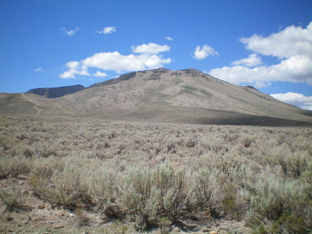
Peak 7464 (summit is just left of center) as viewed from the base of the northeast ridge. Livingston Douglas Photo
Access
From the signed junction of US-93 and Houston Road in Leslie, Idaho (just north of the Mormon Church on US-93), turn south on Houston Road and reset your odometer. This junction is just south of the well-signed junction with Pass Creek Road and is about 8 miles south of Main Street in Mackay. At 0.4 miles, the road turns sharply right/west. At 3.4 miles, reach an unsigned “T” junction. Go left/south here and drive 0.2 miles to another unsigned “T” junction. Park at this junction or just west of it along the wide, smooth dirt road (5,860 feet). There is a gravel pit nearby to the east.
Northeast Ridge, Class 2
The Climb
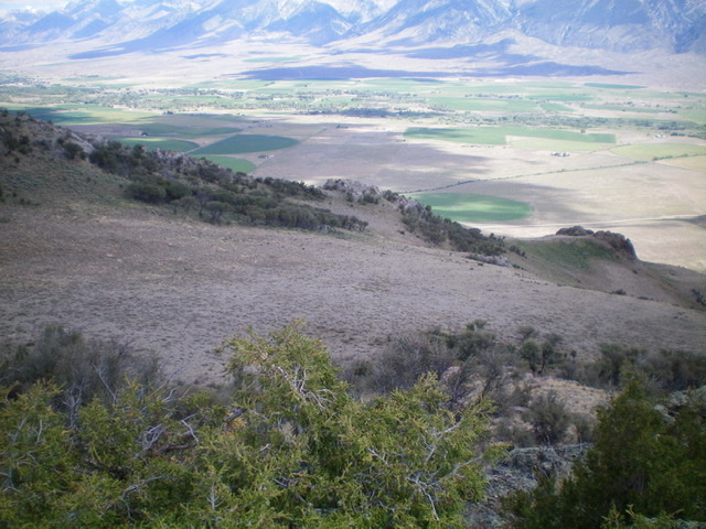
From the road junction, walk west along the road a short distance to the base of the [obvious] shoulder that leads south then southwest up onto the northeast ridge. You can even see the summit of Peak 7464 from the road. The terrain here is entirely open scrub. Scramble south through sagebrush (which soon becomes short and very easy) up the base of a rounded ridge that separates two dry gullies. The ridge gains definition as you move higher. Skirt the left/east side of a rocky outcrop early on.
The ridge bends right/southwest and steepens at about 6,200 feet. Higher up, use a game trail to skirt the left/east side of a larger ridge outcrop. Skirt the left/east side of a final rocky outcrop to head up a gully of sorts (there is a cattle/elk trail here initially) then diagonally up a face section to regain the ridge crest very high up. As you near the summit, the ridge bends south then southeast to reach the small, rock-and-brush summit area. There is a small cairn on top.
Looking at the rocky crest of the upper northeast ridge (upper left to lower right) from the summit. Livingston Douglas Photo
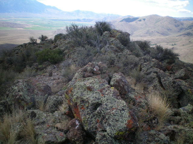
The rock-and-brush summit of Peak 7464. Livingston Douglas Photo
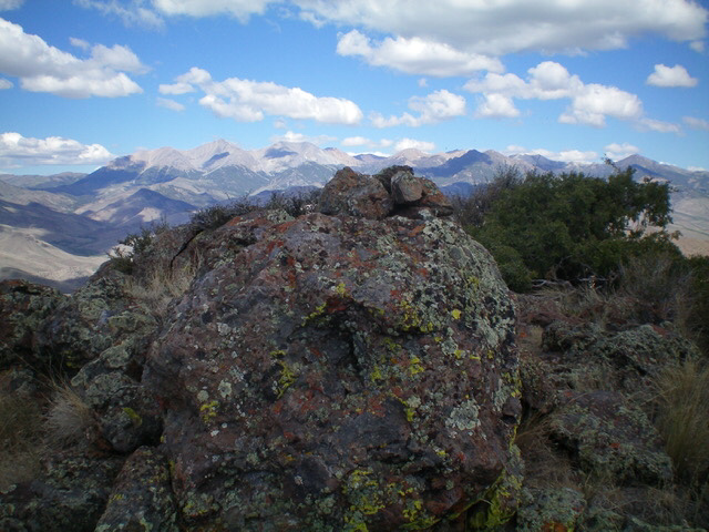
The summit boulder/cairn atop Peak 7464 with the highest White Knob Mountains in the distance. Livingston Douglas Photo
Additional Resources
Regions: EASTERN IDAHO->White Knob Mountains
Mountain Range: White Knob Mountains
Longitude: -113.54309 Latitude: 43.8351