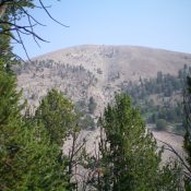
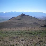
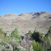
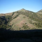
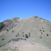
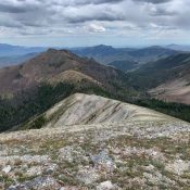
Peak 6620 by Livingston Douglas

Peak 6620 (right of center), its south ridge (coming at the camera), and Stump Canyon (left of center) as viewed from the south. North Canyon Road is visible at the bottom of the photo. Livingston Douglas Photo

This peak is not in the book. Published November 2020 Peak 6620 is a nice ridgeline summit on a north-south ridgeline located just north of North Canyon and just east of Stump Canyon. This area has a lot of private land, so be careful. The south end of Peak 6620 is closed to the public as is the first section … Continue reading

Peak 5849 by Livingston Douglas

Peak 5849 (hump in dead center) as viewed from John Evans Canyon Road to the east. Livingston Douglas Photo

This peak is not in the book. Published November 2020 Peak 5849 is a gentle scrub hump that sits at the mouth of John Evans Canyon, northwest of Malad City, ID. This area is a mix of BLM land and private ranch land, so be careful. Carry a map with the public/private land lines to be safe. Peak 5849 is … Continue reading

Peak 6883 by Livingston Douglas

Peak 6883 is a behemoth as viewed from the east. The east ridge is left of center. The summit is the hump just right of center. Livingston Douglas Photo

This peak is not in the book. Published November 2020 Peak 6883 is an impressive behemoth that towers over Meadow Creek to its south in the Sublett Range. It is best climbed in combination with nearby Peak 6460. Peak 6883 is most easily climbed via its southeast ridge from a road junction along Meadow Creek Road. USGS Sublett Troughs Access … Continue reading

Peak 6460 by Livingston Douglas

Peak 6460 and its long south ridge (skyline). The summit is in mid-ground at the far left. Livingston Douglas Photo

This peak is not in the book. Published November 2020 Peak 6460 is a gentle scrub hump that is located north of Meadow Creek and west of Pine Creek in the rolling hills northeast of Juniper, ID. Combine a climb of Peak 6460 with nearby Peak 6683 via a loop route that begins at a road junction along Meadow Creek … Continue reading

Peak 5641 by Livingston Douglas

Peak 5641 is a flat-ridged summit, as viewed from the parking area on FSR-049 to its southwest. The summit high point is at the left/northwest end of the juniper-clad summit plateau. Livingston Douglas Photo

This peak is not in the book. Published November 2020 Peak 5641 is a small, forested ridgeline peak that is located on the northeast side of ID-37 at its junction with Meadow Brook Road/BLM-027. Its northwest summit (5,641 feet) is barely higher than its cairned southeast summit (5,640+) based on my altimeter readings. Peak 5641 is a bit of a … Continue reading

Buck Peak by Livingston Douglas

Buck Peak's hidden, rocky summit (left of center) only comes into view when atop Point 6373 to its south. Livingston Douglas Photo

This peak is not in the book. Published November 2020 Buck Peak is sandwiched between ID-37 and Colson Canyon in the Deep Creek Mountains. It is most easily climbed via Sagehen Springs Road and its south ridge. There is a cell phone tower installation near, but not on, the summit. This area is a mix of private and public land … Continue reading