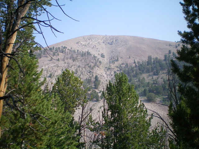
Elevation: 10,805 ft
Prominence: 345
This peak is not in the book. Published November 2021
South White Knob is located just south of [slightly higher] White Knob Mountain (10,835 feet) and northeast of the main White Knob Crest. It separates Mammoth Canyon from Stewart Canyon. South White Knob is best climbed in combination with White Knob Mountain but can also be climbed independently from the south via FSR-516/Stewart Canyon Road and the southwest ridge. USGS Shelly Mountain
Access
From the junction of Main Street and US-93 in Mackay, drive 2.4 miles south on US-93 to a signed junction with Houston Road. Turn right/south onto Houston Road and drive 2.0 miles to an unsigned junction with Alder Creek Road. Turn right/south onto Alder Creek Road and drive 1.6 miles to an unsigned junction at a private ranch and a sharp right/southwest turn in the road. Reset your odometer here. From the unsigned junction, drive southwest on Alder Creek Road.
At 2.9 miles, reach the Challis National Forest boundary. At 7.7 miles, reach a signed junction. Go straight/northwest onto FSR-517/Mammoth Canyon Road. FSR-517 is narrower, rockier, and more rutted than Alder Creek Road, so drive up it slowly. A 4WD vehicle with good tires is required but high clearance is not necessary. Drive 0.8 miles up Mammoth Canyon Road to a signed junction with FSR-516/Stewart Canyon Road. Park at this junction (8,310 feet).
Southwest Ridge
The Approach, Class 1
From the road junction, hike west up FSR-516 (a narrow, rough road only suitable for ATVs and high-clearance jeeps with good tires) for about 3.5 miles to the crossing of the southwest ridge at a narrow pass (10,060 feet). About 0.7 miles up from its junction with Mammoth Canyon Road, FSR-516 becomes [signed] FST-4070, an ATV trail.
The Climb, Class 2
From the 10,060-foot pass at the base of the southwest ridge, scramble northeast up the ridge crest on a mix of boulders/talus and short scrub with some scattered ridge pines early on. Reach the west end of the tilted summit plateau at a minor ridge hump (10,720+). Hike east with a minor drop to a saddle, up over a larger ridge hump, down to a final saddle, and then up to the east/true summit of South White Knob. The terrain on the summit plateau is easy scrub and goes quickly, but it does cover almost ½ mile of hiking. The ups and downs are pretty minimal. The summit has a decent cairn and magnificent views of the nearby White Knob Mountains.
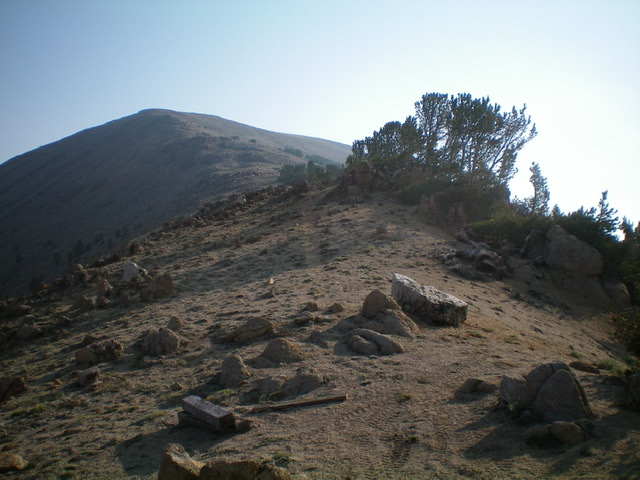
Looking up the southwest ridge of South White Knob from the pass (and ATV trail) at its base. The west end of the summit plateau is left of center. Livingston Douglas Photo
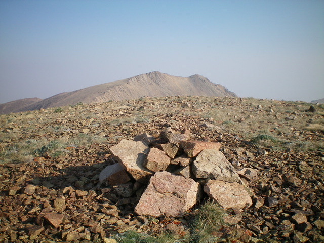
The gentle summit of South White Knob with White Knob Mountain (10,835 feet) in the distance. Livingston Douglas Photo
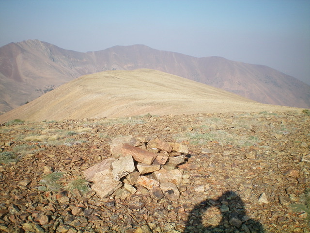
Looking back at the summit plateau west of the high point of South White Knob. Pardon my shadow. Livingston Douglas Photo
Additional Resources
Regions: EASTERN IDAHO->White Knob Mountains
Mountain Range: White Knob Mountains
Longitude: -113.72719 Latitude: 43.85829
