Elevation: 7,350 ft
Prominence: 330
This peak is not in the book. Published November 2021
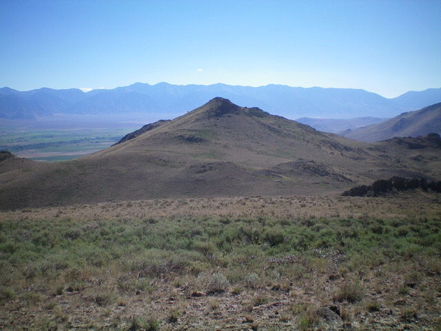
Peak 7350 is located on a ridgeline on the north side of Alder Creek. Public access begins at the Challis National Forest boundary on Alder Creek Road. USGS Big Blind Canyon
Access
Same as for Peak 7864.This is the second leg of a 2-peak adventure that includes Peak 7864 and Peak 7350. It covers 5.5 miles with 2,100 feet of elevation gain round trip.
Southwest Face, Class 2
The Climb
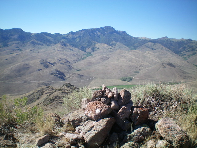
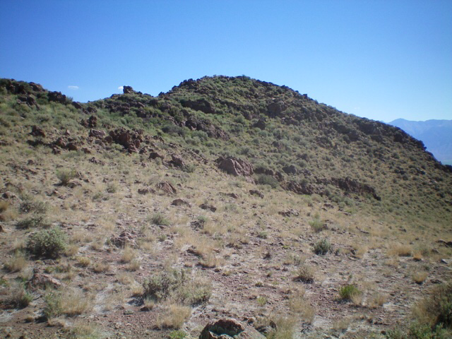
From the 7,020-foot connecting saddle, climb northeast across a dry gully then straight up a sagebrush face. Skirt the right/south side of a rocky outcrop and then bushwhack up and left/northeast through thick sagebrush and other brush. A final push left/north up a minor gully puts you back on the ridge crest. Follow the narrow, rock-and-brush ridge crest east to the cairned summit of Peak 7350.
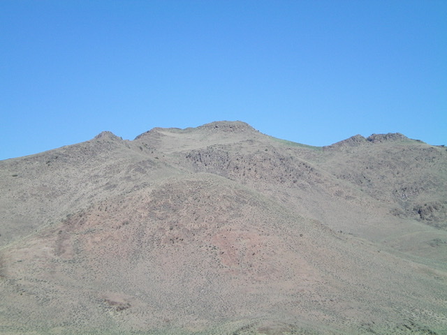
Peak 7350 as viewed from Alder Creek Road to its southeast. The summit is in dead center. Livingston Douglas Photo
The Descent
From the summit, follow the ridge west briefly. Leave the summit ridge and descend south on a shoulder to cross a broad gully and begin a diagonal left/south trajectory across several shoulders and gullies to reach a flattish section of a major shoulder at 6,600 feet. Find a good cattle trail here and follow it as it contours south and then angles diagonally lower but stays above (and right/west of) a cattle fence. Descend left/east below a few rocky buttresses to approach Alder Creek to the south. Reach the right side of a fence row and cross Alder Creek at a wide, shallow point. Follow the fence row a short distance up to Alder Creek Road and your parked vehicle.
Additional Resources
Regions: EASTERN IDAHO->White Knob Mountains
Mountain Range: White Knob Mountains
Longitude: -113.59059 Latitude: 43.84701
