Elevation: 8,571 ft
Prominence: 351

This peak is not in the book. Published November 2021
Peak 8571 is located between Sawmill Canyon and Trail Creek on the east side of the White Knob Mountains. It is most easily climbed via its north ridge from Sawmill Creek. USGS Shelly Mountain
Access
From the junction of Main Street and US-93 in Mackay, drive 2.4 miles south on US-93 to a signed junction with Houston Road. Turn right/south onto Houston Road and drive 2.0 miles to an unsigned junction with Alder Creek Road. Turn right/south onto Alder Creek Road and drive 1.6 miles to an unsigned junction at a private ranch and a sharp right/southwest turn in the road. Reset your odometer here. From the unsigned junction, drive southwest on Alder Creek Road. At 2.9 miles, reach the Challis National Forest boundary. At 5.0 miles, reach a signed road junction. Go straight to remain on Alder Creek Road. At 6.9 miles, park in a pullout on the left side of Alder Creek Road just before the road crosses to the right/north side of Alder Creek. The elevation at this pullout is 7,280 feet. GPS coordinates: 43⁰49’55”N, 113⁰40’06”W.
Northeast Ridge, Class 2
The Climb
From the parking pullout, hike south up a spur road for a short distance to intercept [unsigned] Sawmill Canyon Road/FSR-069. Follow FSR-069 right/west. Stay right at an unsigned junction with a spur road that heads left/south. Leave FSR-069 soon after it exits the forest. Scramble left/south up a steep-ish sagebrush slope (with some scattered pines) to reach the crest of the northeast ridge. You must cross a stiff, high cattle fence early on.
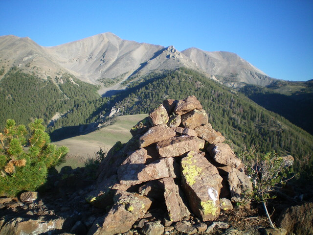
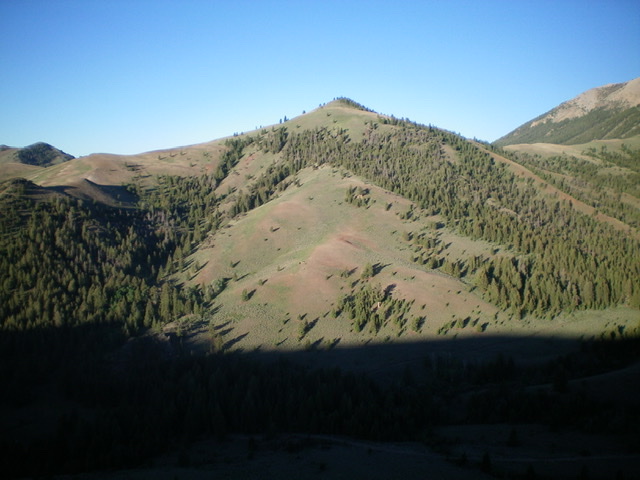
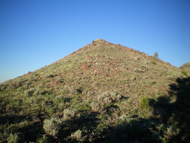
Follow the meandering ridge southwest then south then southwest to reach the elongated, narrow ridge crest summit of Peak 8571. The northeast ridge is a combination of scrub, a patch of thick pines (with lots of blowdown), and a rocky section near the summit. The high point sits back (to the southwest) of the “summit” hump that you see as you climb the ridge. The summit has a modest cairn.

The large summit cairn atop Peak 8571 with the White Knob Crest in the distance. Livingston Douglas Photo
Additional Resources
Regions: EASTERN IDAHO->White Knob Mountains
Mountain Range: White Knob Mountains
Longitude: -113.67979 Latitude: 43.82329

