Elevation: 8,286 ft
Prominence: 386
This peak is not in the book. This peak’s name was changed to Cornice Point from Squaw Point in 2022 by order of the Depart of Interior. Two routes are set out below.
Cornice Point is a rugged granite peak on a long summit ridge that has two points of similar height. This peak is located north of McCall, south of Josephine Lake and north of Secesh Summit and FH-21/Warren Wagon Road. The West Summit is identified as the high point by the Lists of John website. John Platt reports that the two summits are of equal height and a summit cairn is on the [lower] East Summit. I thought that the East Summit looks a bit lower when viewed from the West Summit. USGS Victor Peak
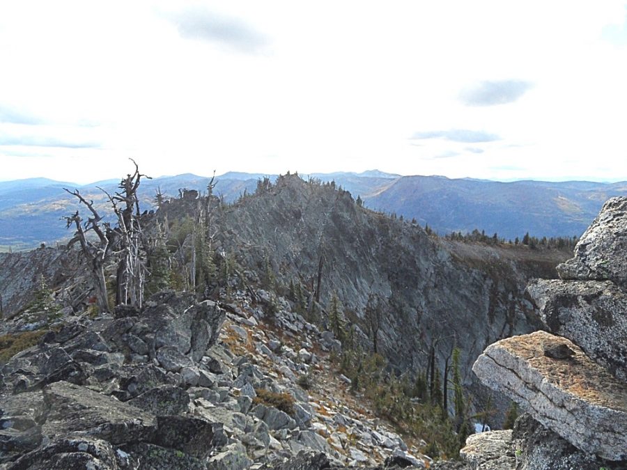
The South Side of Squaw Point as viewed from Peak 7365.
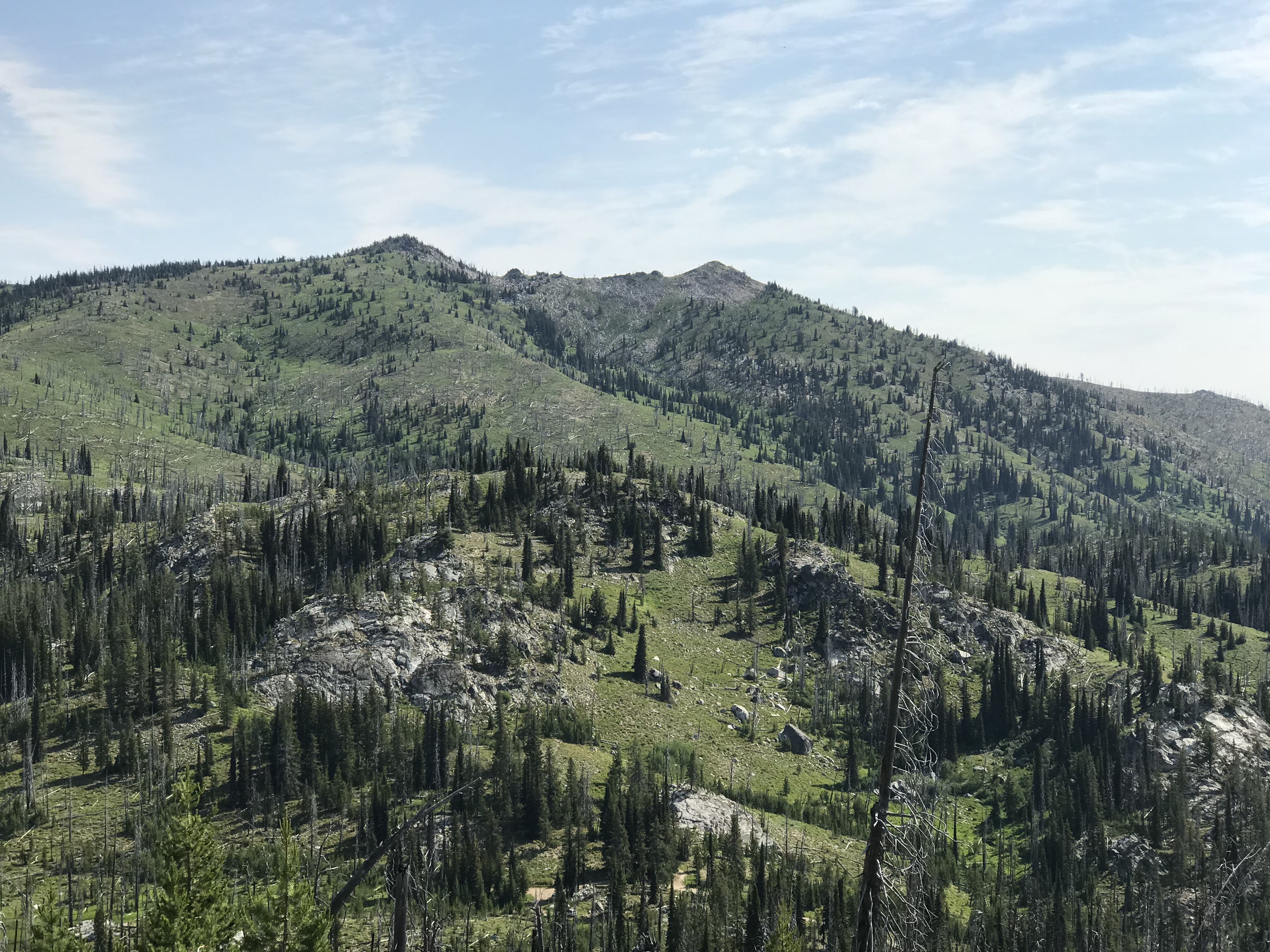
The summit ridge of Cornice Point. John Platt Photo
Cloochman Saddle/West Ridge, Class 2
Cornice Point is easily approached from Cloochman Saddle to the south. The saddle is reached from Warren Wagon Road/FH-21 [(B)(2) on Page 135] and FS-492. Follow Warren Wagon Road north from ID-55 for almost 23.0 miles. The turn for FS-492 is on the left, just 150 feet before the pass. FS-492 leads to Cloochman Saddle in 3.0 miles. The road receives occasional maintenance and should be passable for passenger cars when dry. There are a few campsites at the road’s end.
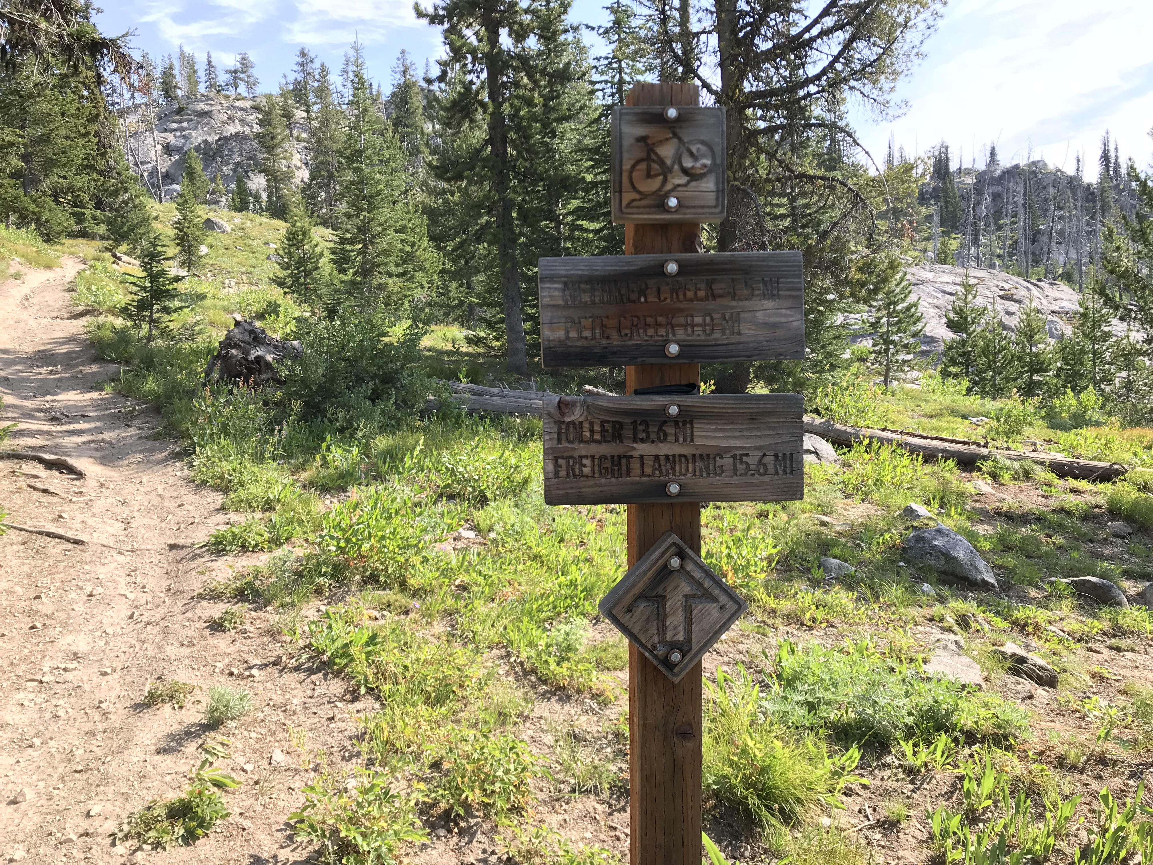
The beginning of the trail is marked as a mountain bike route.
From Cloochman Saddle, FST-142 leads to the peak’s West Ridge. This trail has been rebuilt for mountain bikes and is not nearly as steep as the old trail. Follow the trail for 3.0 miles to the spot where it reaches the peak’s West Ridge above Josephine Lake.
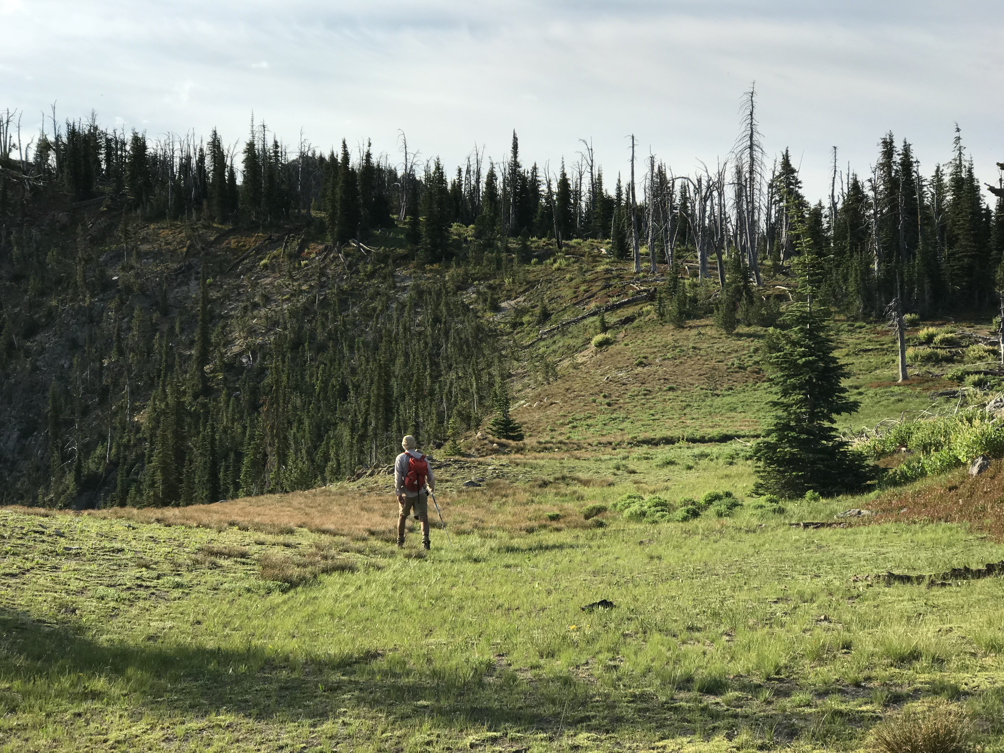
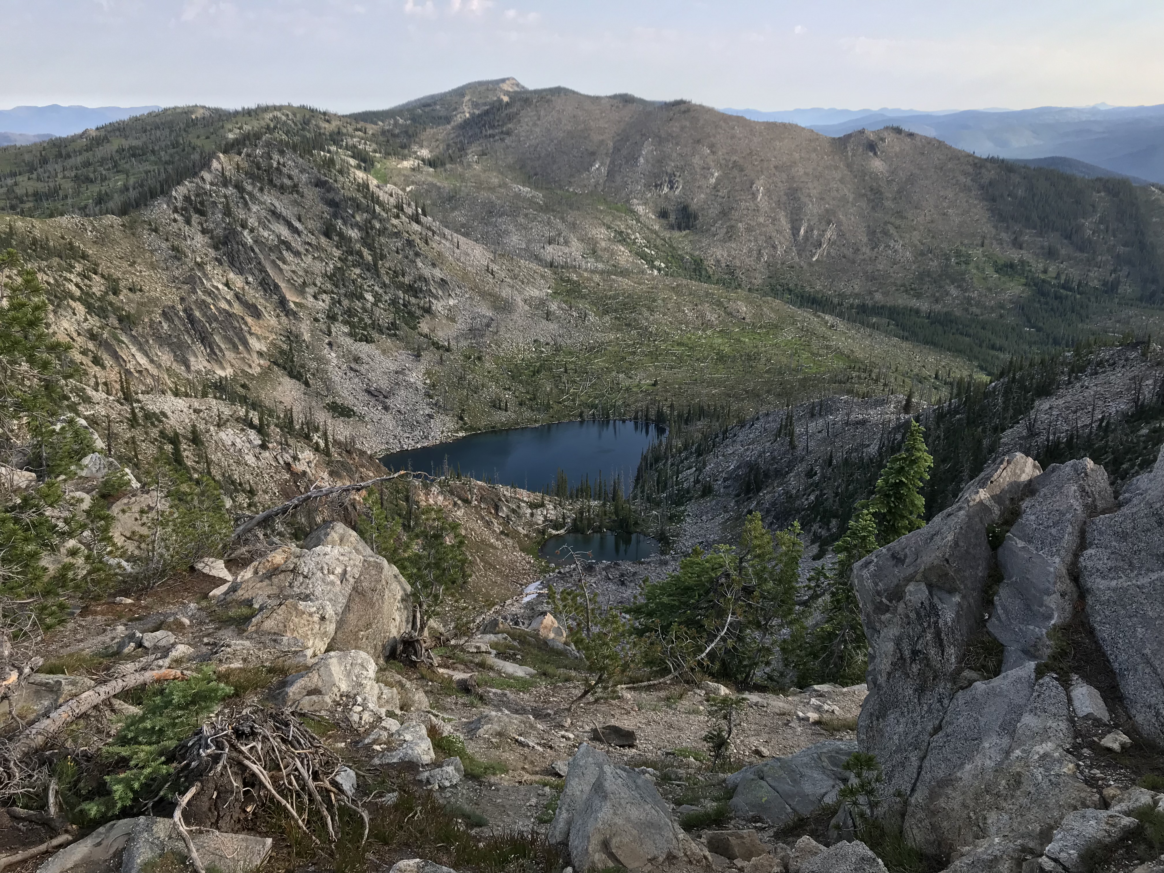
Looking east toward the summit from the point where the trail reaches the ridge above Josephine Lake.
Turn east and follow the ridge through open forest to the summit in 0.1 miles. The high point is composed of a few granite blocks. Total elevation gain was 1,129 feet.
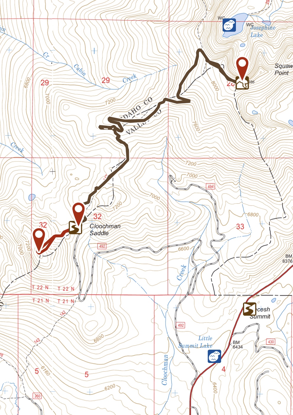
This map shows FS-492 and my GPS track to the summit.
Josephine Lake as viewed from the summit of or Cornice Point with Bear Pete Mountain in the background.
Josephine Lake/North Ridge, Class 2 to East Summit
John Platt climbed this route from Josephine Lake. Use the link below to read John’s trip report. Access the lake from Warren Wagon Road/FH-21 [(B)(2) on Page 135]. Cross over Secesh Summit and turn left in 1.4 miles onto [unsigned] FS-316. This road is occasionally maintained and, although bumpy, it should be passable to passenger cars when dry. It is 3.0 miles to the road’s end, where there is a parking area and [unsigned] FST-296 begins.
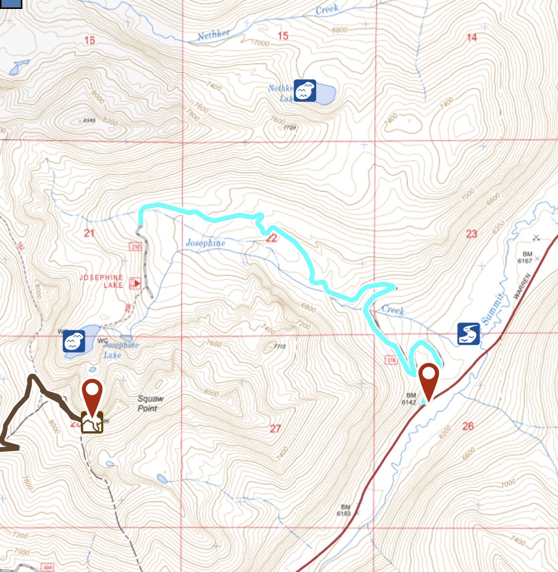
FS-316 and FST-296 (blue) provide access to Josephine Lake.
From the trailhead, hike up FST-296 to the Josephine Lake. From the lake, ascend the North Ridge to the peak’s East Summit. John measured the route at 3.5 miles with 1,255 feet of elevation gain. The ridgeline between the two summits appears to cross Class 3 terrain.
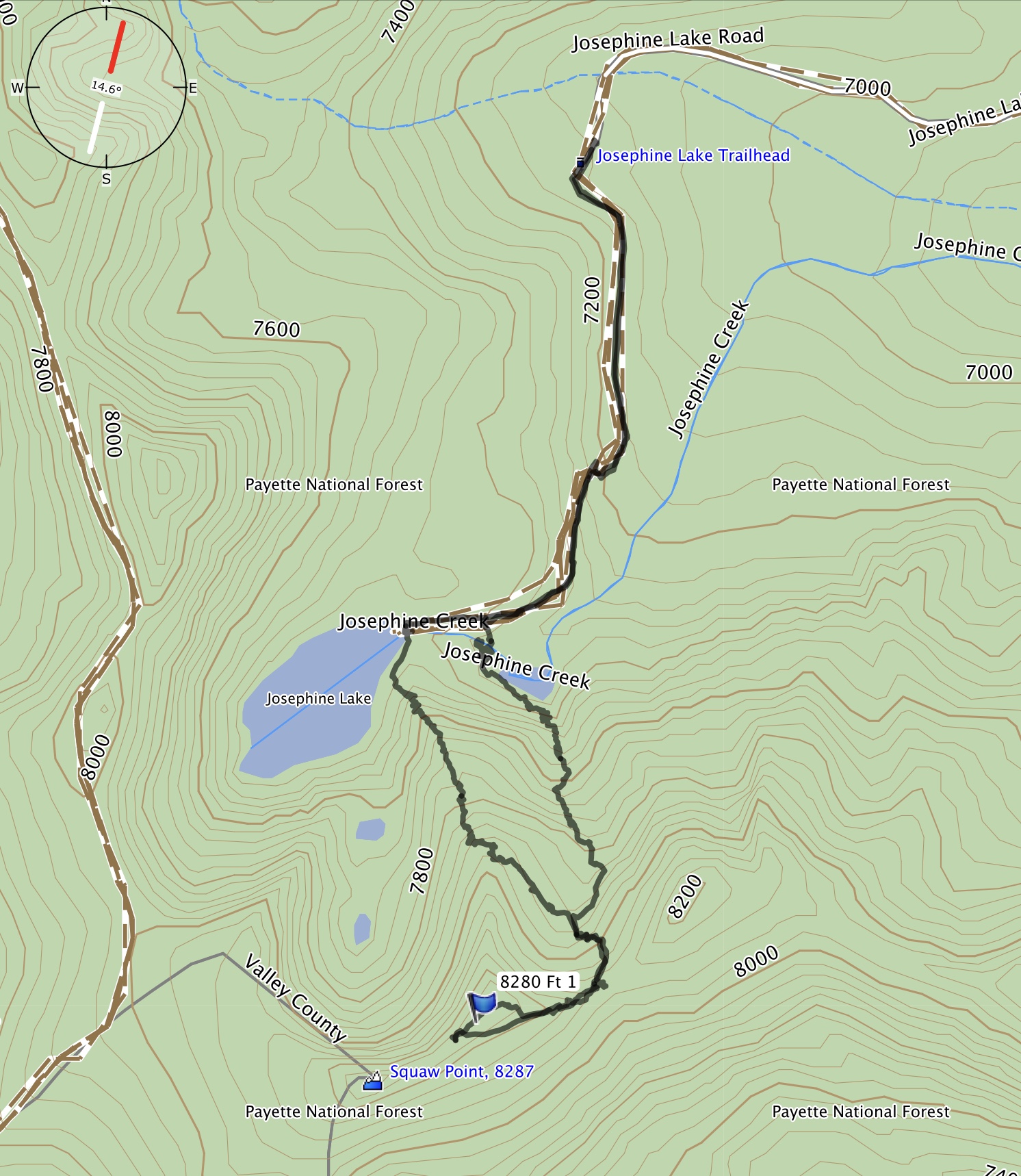
John Platt’s GPS track to the East Summit.
Additional Resources
Mountain Range: Western Salmon River Mountains
Year Climbed: 2018
Longitude: -115.97149 Latitude: 45.21769