Elevation: 10,125 ft
Prominence: 865
Climbing and access information for this peak is on Page 200 of the book. Additional route information is set out below. USGS Snowyside Peak
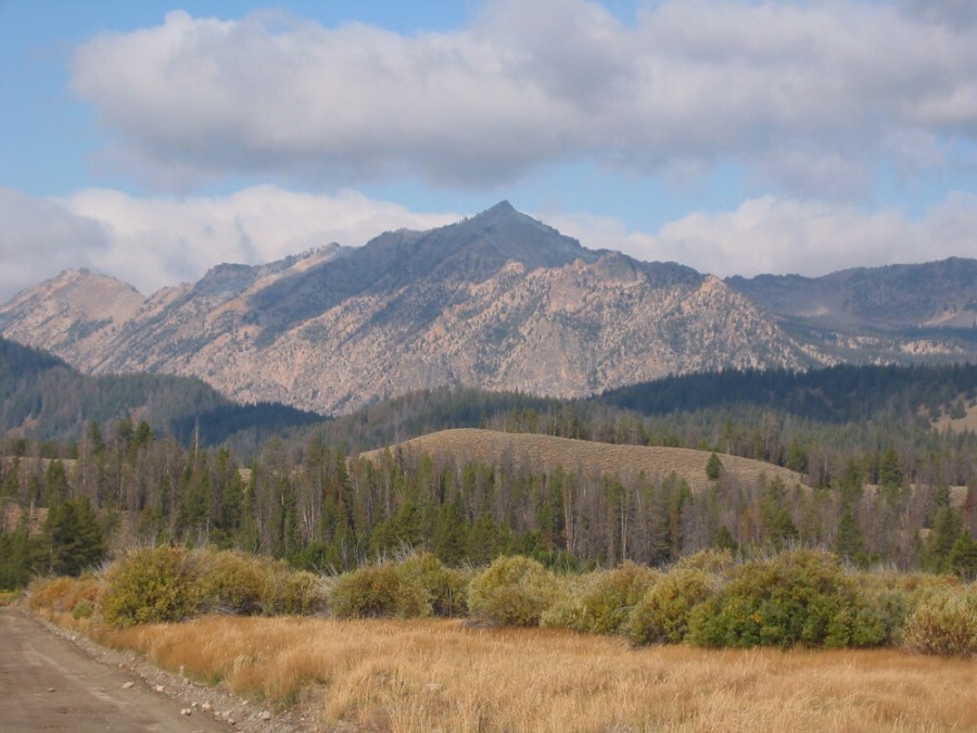
Imogene Peak as viewed from ID-75 and the Petitt Lake Road. John Platt Photo
Imogene Peak Traverse
Andrew Chiles and I traversed the peak on July 13, 2014. 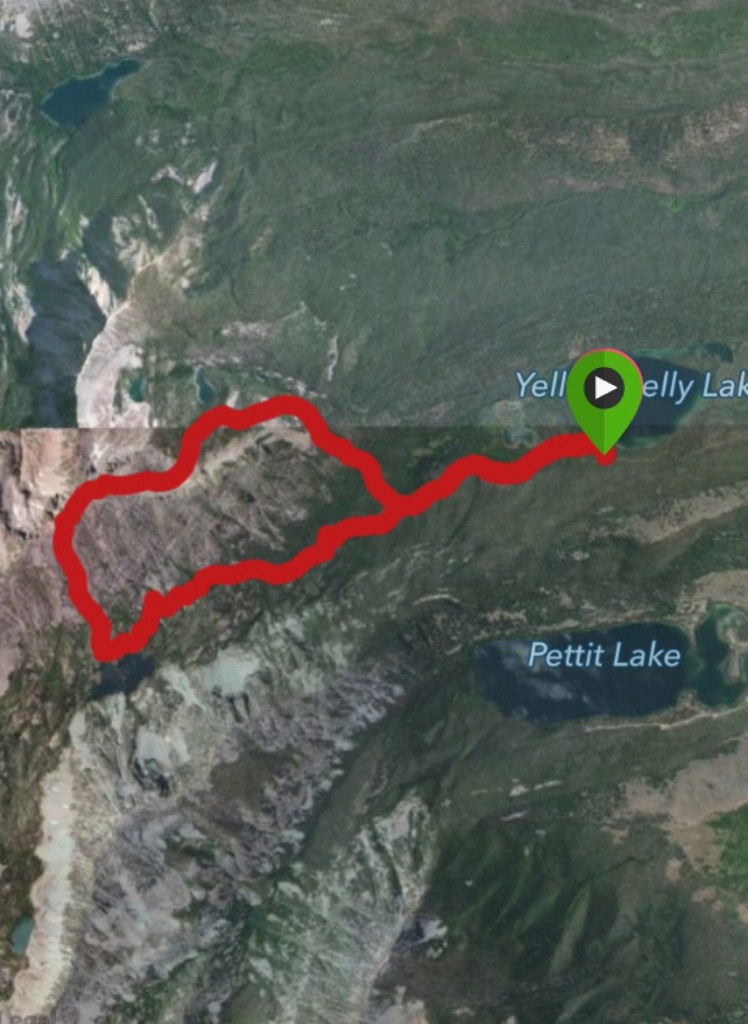 We climbed the Standard Route from Farley Lake and then descended the East Ridge Route. See John Platt’s trip report for a route up the East Ridge. A few notes on the Yellowbelly Lake Road. It is not getting any better. You will need a 4WD vehicle. A couple of spots are very bad due to the dirt eroding away from the bedrock which has left some very high obstacles. It takes at least 30 minutes to drive to the trailhead from ID-75. The trail to Farley Lake is in good shape. The one stream crossing will be difficult during high water. It is 1.39 miles to the turnoff for the East Ridge Route. It is 4.6 miles to the turn for the Standard Route. Our loop route measured 10.2 miles.
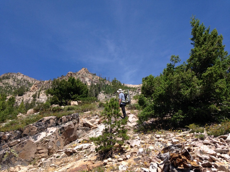
The Standard Route leaves the trail at the first drainage west of a greenish pond. This photo was taken about 300 vertical feet above the trail.
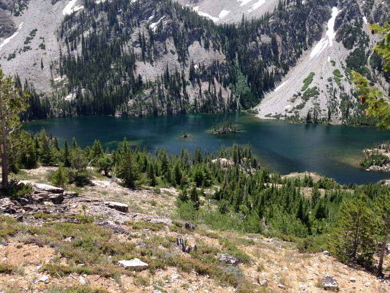
Looking down to the trail and the lake.
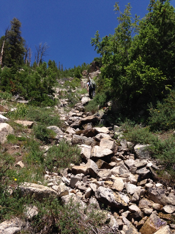
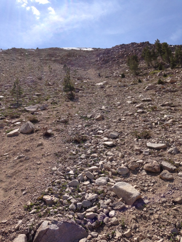
Higher up, the route narrows. The footing is generally good.
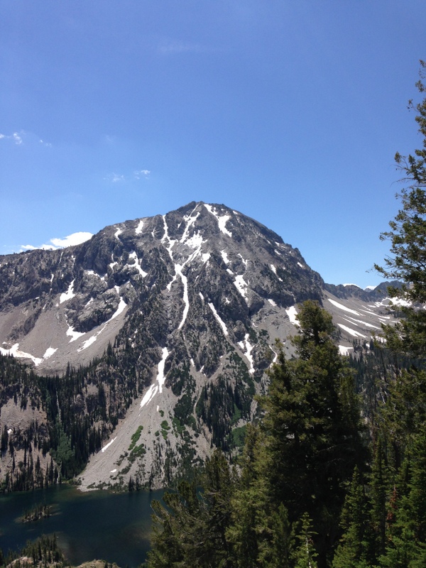
The North Face of Parks Peak shows a nice line for a snow climb a little bit earlier than July.
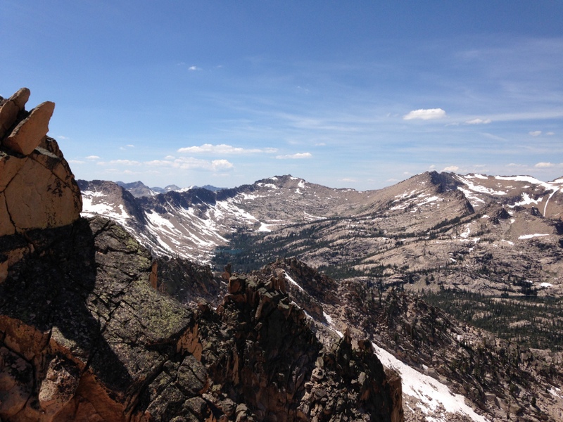
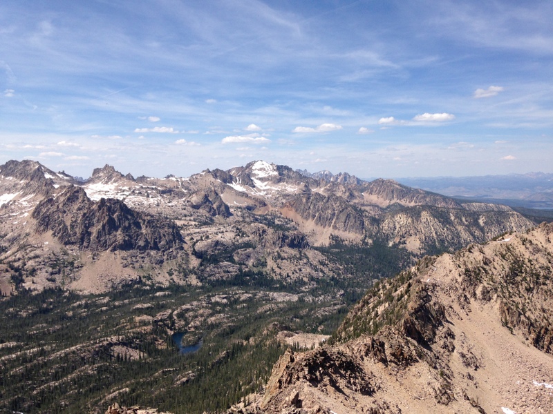
Once on the summit ridge, the view opens up. Payette Peak is in the middle of this photo.
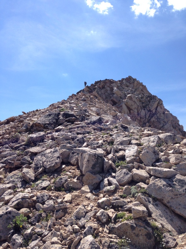
Once you hit the top of the peak’s West Ridge, it is a short scramble east to the summit. Andrew Chiles Photo
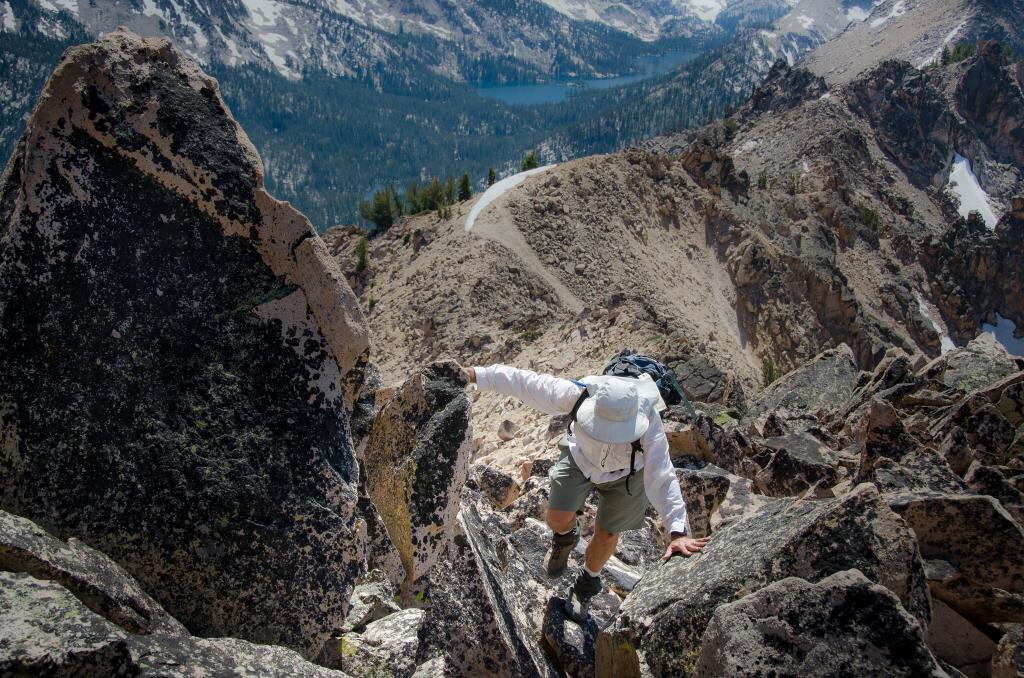
Scrambling up the West Ridge. Andrew Chiles Photo
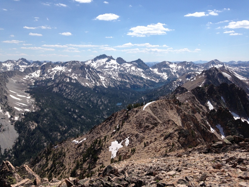
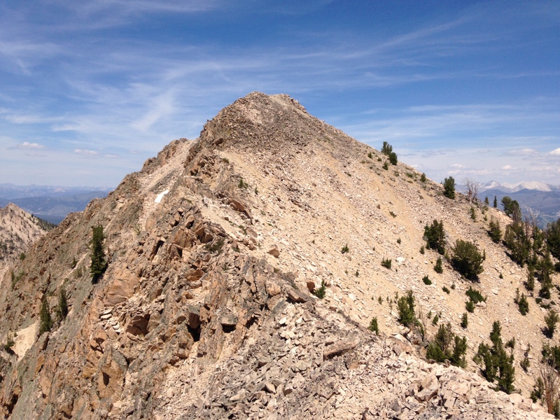
Looking back down the West Ridge. Snowyside Peak is in the distance.
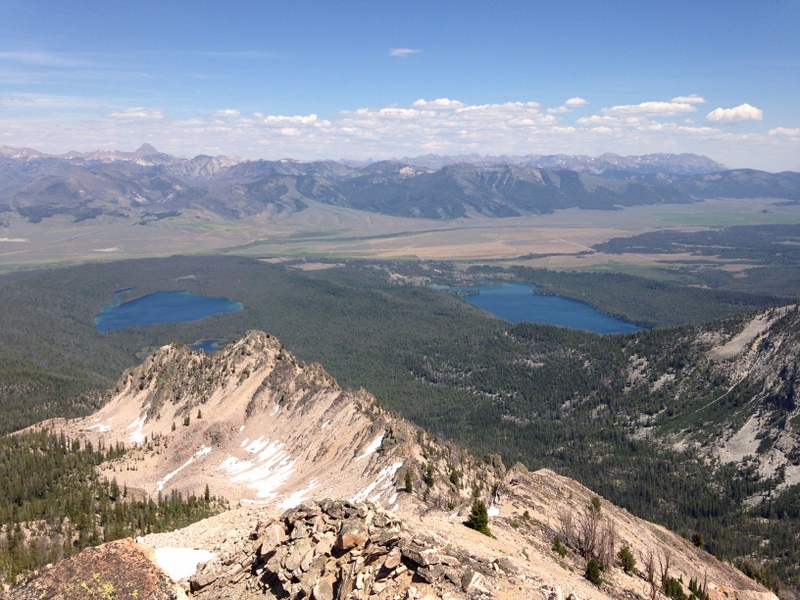
Looking down the East Ridge and out to Yellowbelly Lake and Petitt Lake. The East Ridge Route drops 300 vertical feet and then descends to the North Base of the ridge and parallels the ridge down the drainage.
The view north from the summit.
The upper East Ridge.
Dropping off the East Ridge on loose talus.
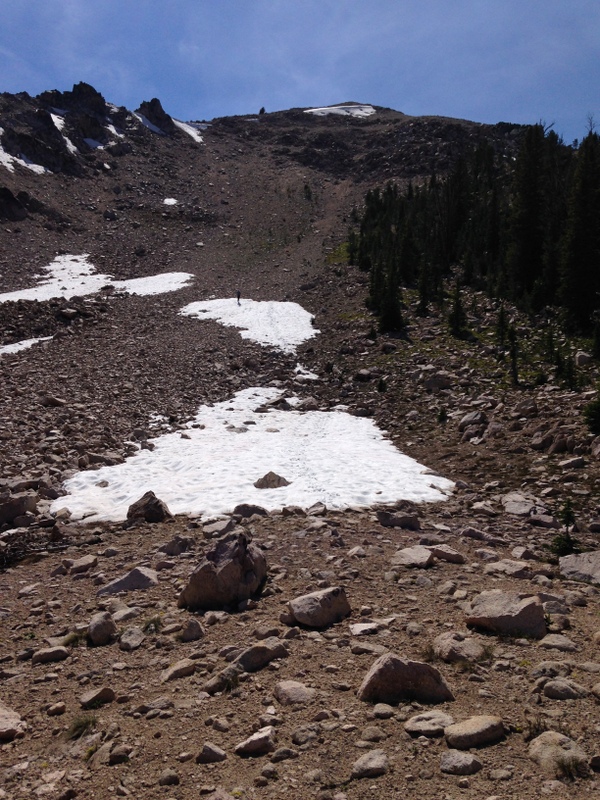
Farther down, there was a little snow left.
Additional Resources
Mountain Range: Sawtooth Range
Year Climbed: 2014