Elevation: 4,439 ft
Prominence: 1,339
Climbing and access information for this peak is on Page 56 of the book. Updated November 2023
Mount Coeur d’Alene is located approximately nine miles southeast of the city of Coeur d’Alene, Idaho in the Coeur d’Alene National Forest. Mount Coeur d’Alene’s tree-covered summit is reached by both trail and road. Google Maps provides driving directions to the former fire lookout site at the summit. The Caribou Ridge National Recreation Trail will also get you to the summit. Interestingly, as of 2016, I see that the trail is not listed on the Panhandle National Forest’s website. However, the trail does show up on the USGS quad and other websites. USGS Mount Coeur d’Alene
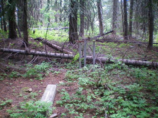
The summit of Mount Coeur d’Alene. No summit views here. Livingston Douglas Photo
Access
From its unsigned junction with FSR-614, drive 5.2 miles west then northwest up FSR-439 to a decent roadside pullout at an unsigned junction with an old Forest Service road (shown on the USGS topo map but not on the National Forest Map). Park here (4,230 feet; 47⁰34’48”N, 116⁰40’56”W).
East Ridge/East Face, Class 1
The Climb
From the parking pullout, hike west-northwest then west up the overgrown 2-track road up to near the summit. Leave the road where it ends at an intersection with the well-beaten FST-79/Mount Coeur d’Alene Trail. Follow the trail left/south briefly to reach the forested summit area. The summit high point is just off the trail in the thick forest. The summit is at 47⁰34’52”N, 116⁰40’56”W. There is an old, dilapidated cabin about 100 yards away to the south farther along the hiking trail.
There is no fire lookout anymore (as the USGS topo map shows), no summit cairn, no views, and no USGS benchmark. This is, without a doubt, the shortest and easiest way to the summit of Mount Coeur d’Alene. The intersection of the Coeur d’Alene Road/FSR-439 and FST-79 (referenced on Page 56 of the Book) is about ½ mile farther northwest on FSR-439 from my starting point, is about 80 feet lower in elevation, and requires a 2-mile roundtrip trail hike to the summit. My route covers only 0.7 miles round trip and requires only 225 feet of uphill.
Additional Resources
Regions: NORTHERN IDAHO->Saint Joe Mountains
Mountain Range: Saint Joe Mountains
Longitude: -116.68949 Latitude: 47.58119