Elevation: 8,647 ft
Prominence: 467
This peak is not in the book. Updated August 2023
Teardrop Peak, named by John Platt, is located due west of Lick Creek Summit in one of the most open sections of the Lick Creek Range. The terrain is open due to a massive forest fire that occurred in the late 1980s. While the open nature of the terrain makes route finding easier crossing this country is strenuous and time consuming due to brush and downfall. Teardrop’s summit is not visible from the trailhead. John Platt climbed every peak in this impressive subrange of the Salmon River Mountains and provided the initial beta for each peak. This area of the Salmon River Mountains is a treasure trove of worthy peaks, few of which were included in the book. Click on the link below to read John’s trip report. USGS Box Lake
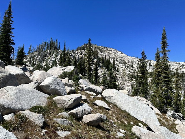
Teardrop Peak from midway up the East Ridge.
Access
Access is from FH-48, Lick Creek/Yellow Pine Road [(B)(3) Page 136]. There is a parking spot on the west side of FH-48 at Lick Creek Summit. This spot is just NE of Summit Lake (which is not visible from the road).
East Ridge, Class 3-4
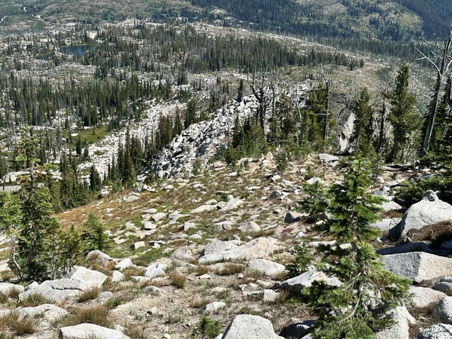
A sketchy use trail leaves the parking spot and wiggles its way down to the north end of Summit Lake. From the north end of the lake hike west crosscountry as directly as possible. The initial 0.7 miles of the hike cross over numerous granite outcrops and involves zigzagging and up and down travel. John described this as “hiking across the grain.” The terrain starts to steepen at 7,200 feet and then lessens at 7,500 feet. At 7,800 feet the east ridge begins to take shape as it begins its rise to the summit. The ridge is a conglomeration of steep sand, boulders and towers. Staying directly on the ridge will no doubt involve Class 4 climbing. Obstacles can be bypassed on the north side of the ridge. Although I climbed the ridge I recommend using the Northeast Gully route.
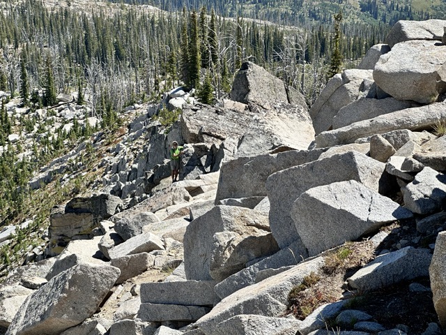
A typical section of the East Ridge.
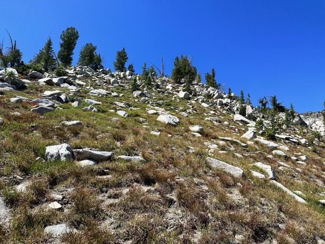
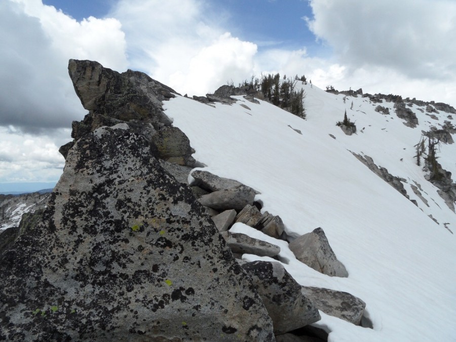
The final section of the East Ridge is obstacle free.
Northeast Gully, Class 2
Follow the East Ridge route to roughly 7,500 feet and then cross over into the drainage on the north side of the East Ridge. Continue west up the drainage to the base of the Northeast Gully. This gully is steep, wide and mostly covered by vegetation. Climb the gully to the summit.
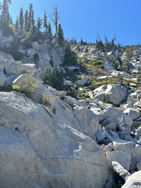
Looking up the Northeast Gully.
Looking down the East Ridge. The Northeast Gully drops off to the left.
My GPS track for the North Ridge and North East Gully routes. Round trip distance was 2.2 miles with 1,650 feet of elevation gain.
Peak 8647. John Platt Photo
Additional Resources
Mountain Range: Western Salmon River Mountains
Year Climbed: 2023
Longitude: -115.96649 Latitude: 45.04119