Elevation: 7,565 ft
Prominence: 905
Climbing and access information for this peak is on Pages 116-117 of the book. Updated January 2020
Stolle Peak is a tree-covered summit located 6 miles SSW of Warm Lake and W of Stolle Meadows. From 1934 to 1950, it had a fire lookout. There was not much left of this structure when I visited the summit in 1988. There have been fires in this area since 1988. I don’t if recent fires have burned the summit. The trail to the summit has not been maintained for many years. Please note that while older Forest Service maps identified this peak as Stolle, the current USGS map identifies this peak as the Cougar Rock Benchmark. USGS Rice Peak
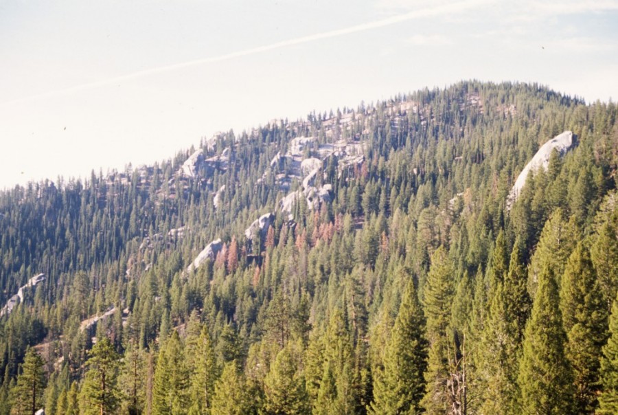
Stolle Peak as viewed from the north.
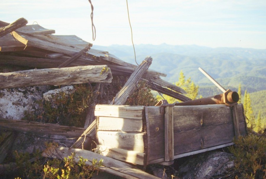
The fire lookout ruins atop Stolle Peak.
The summit view from Stolle Peak (1988).
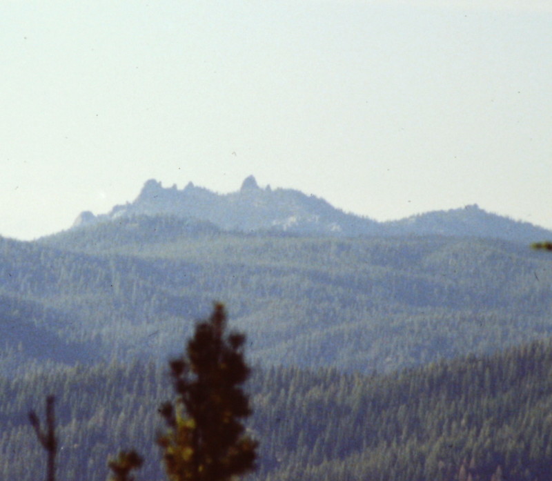
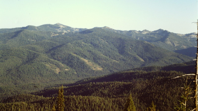
Needles Peak as viewed from the summit of Stolle Peak.
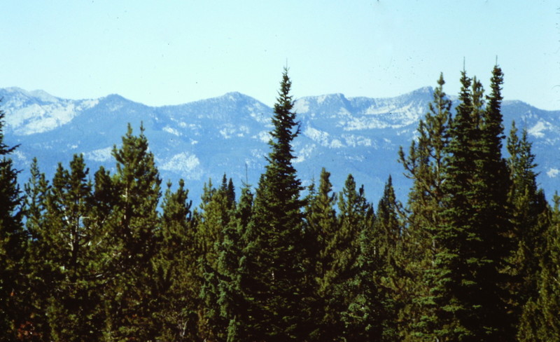
How many of these trees have survived the effects of recent forest fires? Another view from the summit of Stolle Peak.
Additional Resources
Mountain Range: Western Salmon River Mountains
Year Climbed: 1988, 1988