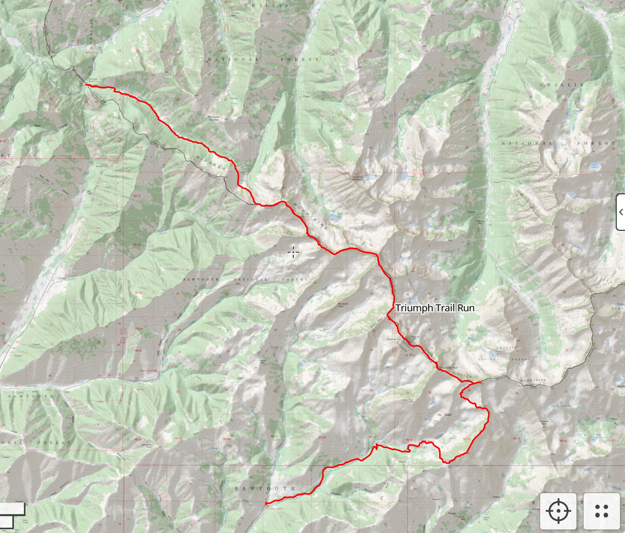
On August 4th at around 7:30AM, I set off from the Summit Creek trailhead. My goal was to traverse the Pioneer Crest from the Summit Creek trailhead to the Hyndman Creek trailhead where Derek Percoski agreed to pick me up.
The red line is my route along the Pioneer Crest (Click on the photo to enlarge). Derek Percoski Photo
First up was the Devils Bedstead West (DBW).
Looking up at Devils Bedstead West
After an easy going ascent of DBW, the traverse to Salzburg Spitzl goes through some Class 4/Easy Class 5 terrain along some unpleasant Pioneer choss.
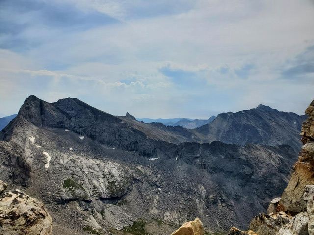
Looking at Salzburg Spitzl from Devils Bedstead West
The ridge traverse from Salzburg Spitzl to Goat Mountain is a little shorter on better rock and easier terrain (Class 3).
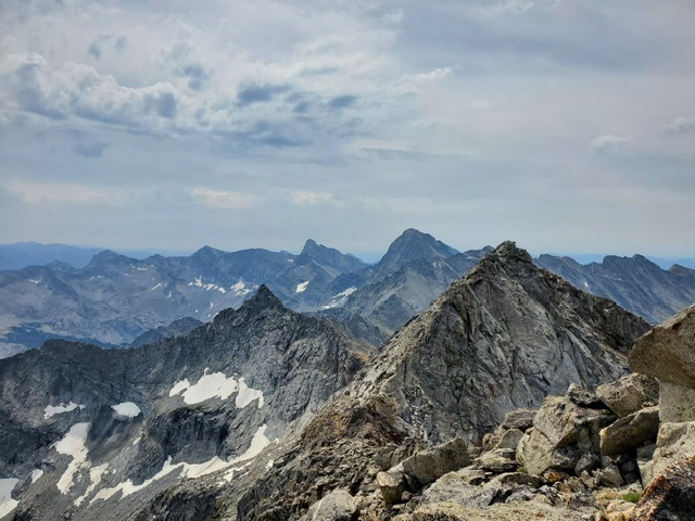
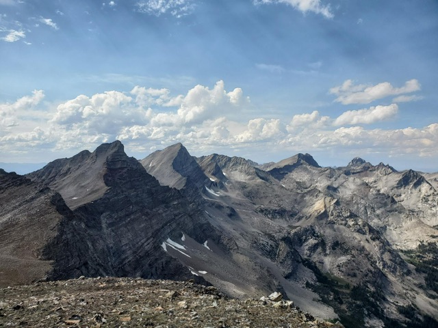
Looking at Goat Mountain from Salzburg Spitzl
The view from Goat Mountain looking ahead at the rest of the traverse
The traverse from Goat Mountain to Duncan Ridge included some easier Class 2 terrain. I considered jogging some of this easier terrain. Instead, I decided to switch things up and stayed on the ridge proper after Florians Nudl. This section of the traverse crossed some exposed Class 4 sections.
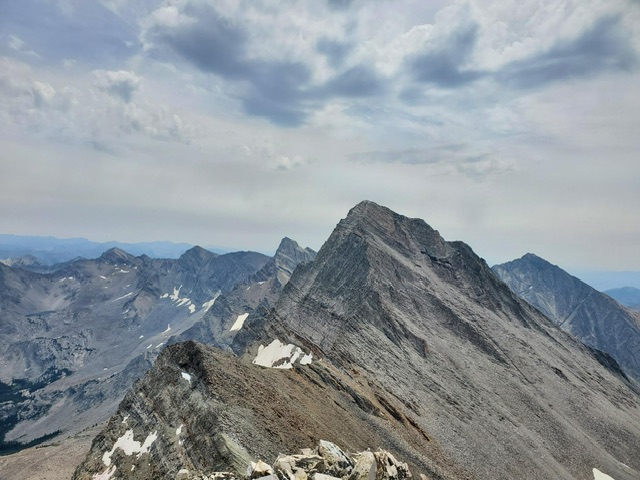
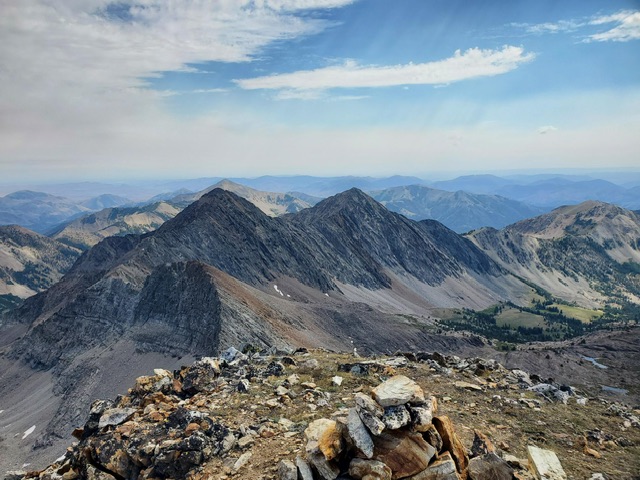
Hyndman Peak as viewed from Duncan Ridge
From Duncan Ridge to Hyndman Peak, the route now involved fun Class 3 and 4 scrambling. I kept to the ridge proper when ascending Hyndman Peak.
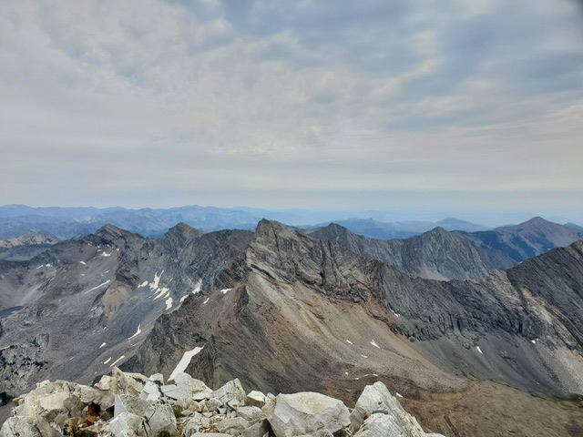
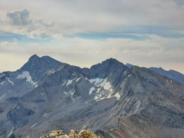
Old Hyndman as viewed from Hyndman Peak
The crux of the day was Hyndman Peak to Old Hyndman. Luckily, the route was still fresh in my mind from an earlier climb. Nevertheless, my previous ascent didn’t make the climb any less sketchy. The Class 5 crux moves are exposed.
Looking back on the traverse from Big Basin Peak
From Old Hyndman to Big Basin Peak (BBP), I was looking forward to the Class 2 terrain that I could jog. This linkup is very straightforward.
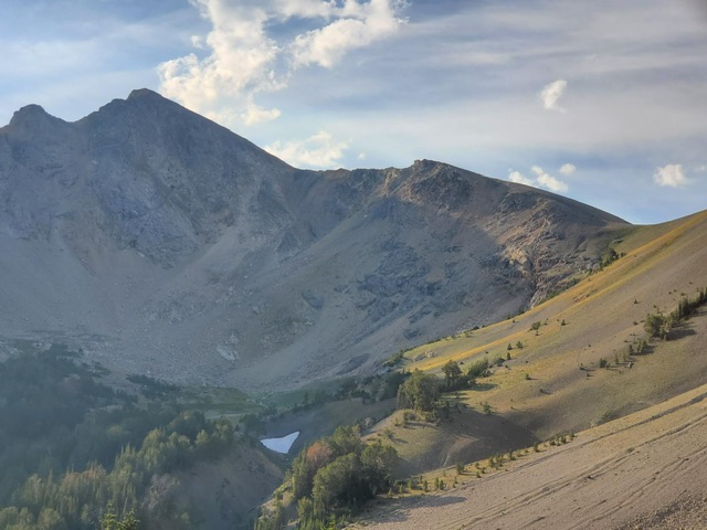
Looking toward my last two objectives, McIntyre Peak and Jacqueline Peak, from Big Basin Peak.
As I crossed from Big Basin Peak to McIntyre Peak, I drank the last of my 1.8 liters of water. I decided to drop into Big Basin for my first fill up. This detour did not add much gain and I ended up unknowingly avoiding a tricky section along the ridge line.
McIntyre Peak to Jacqueline Peak is a popular linkup and there were no surprises on this section. I texted Derek from the summit of Jacqueline Peak and headed down. Once I was back on a trail, getting to run the rest of the way was a nice change of pace.
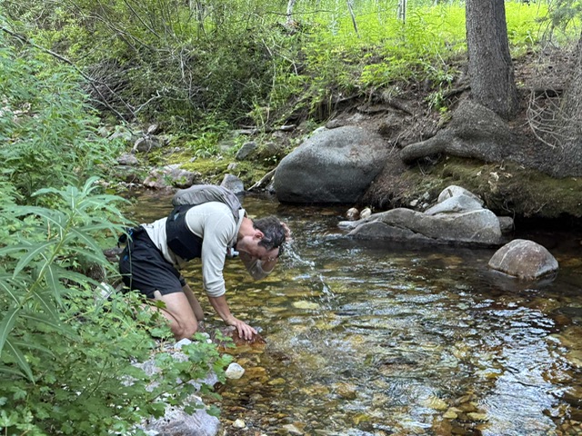
Finishing with a splash of water on the head at Hyndman Creek. Derek Percoski Photo
My GPS track recorded 21.33 miles with 10,322 feet of elevation gain and 11,092 feet of elevation decent in 12 hours and 33 minutes.