I’ve got two new ranked 10ers to introduce:
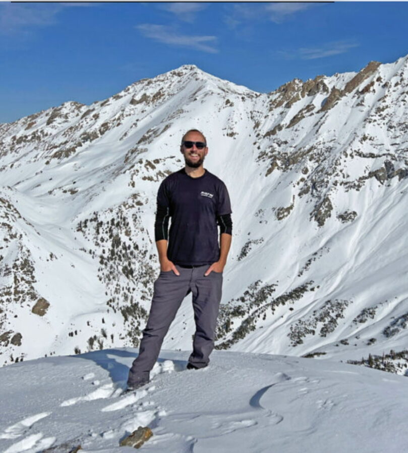
10036 (“Middle Peak”)
https://listsofjohn.com/peak/33754
https://peakbagger.com/peak.aspx?pid=227087
Peak 10036. Derek Percoski Photo
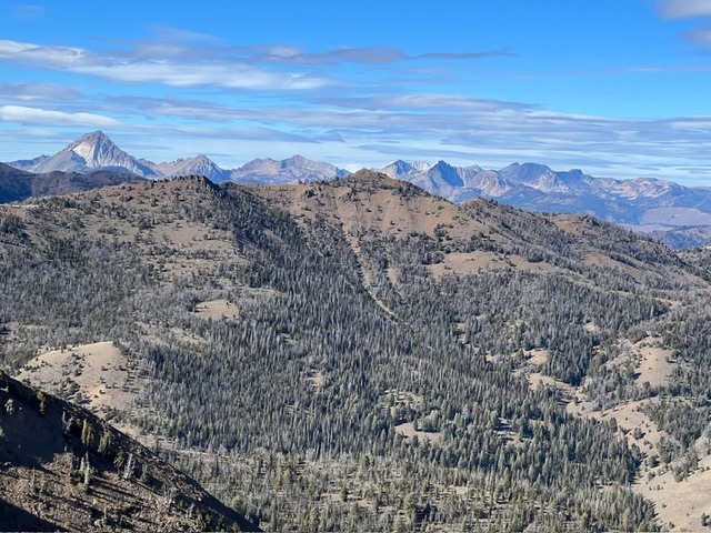
10965 (just 35 feet short of being an 11er!)
https://listsofjohn.com/peak/219330
https://peakbagger.com/peak.aspx?pid=218413
Peak 20965. Derek Percoski Photo
These discoveries were made thanks to Peakbagger.com. It’s a fitting opportunity to discuss what’s happening with our two primary peak-logging databases. LoJ was built upon the admin single-handedly combing topos to plot out every ranked summit (prominence of 300 feet or more) in the United States. For Peakbagger.com, the admin handled high-profile peaks. Obscure peaks could be added via user submissions which were later approved by the admin.
When LiDAR data started to become available, LoJ stuck with the manual approach and began updating its listings. John Kirk also now has contributors who help with this tedious process. Peakbagger is using an automated algorithm made by a senior Google software engineer (he basically launched Google Maps and Google Earth) who also happens to be a fellow peakbagger. Not only is Peakbagger upgrading to LiDAR elevations, but they are adding thousands of peaks to the database that weren’t there before because the new process is automated and takes little time.
The downside to Peakbagger’s approach is that the DEMs/Digital Elevation Models (i.e., the algorithms) that are run only use LiDAR data points that are classified as ‘ground’ strikes. This filters out noise, vegetation, man-made objects, but it also filters out many boulders and towers. This is why Peakbagger LiDAR elevations are often lower than LoJ. For example, Finger of Fate is currently listed 26 feet lower. The same can occur with rocky key cols (the saddle from which prominence is measured). For LoJ, a human analyst is looking at a visual of the unclassified data points and doing their best to discern if they are vegetation, cairns, etc. versus natural boulders and spires. This allows LoJ to offer the most accurate elevations possible.
The benefit of the Peakbagger algorithm is it can more easily take in the bigger picture and include possibilities overlooked by a human analyst. These two new 10ers illustrate different ways that can occur. For Peak 10036, I had analyzed this peak last month and found it to have a 289-foot rise. What I hadn’t noticed was that along the lengthy ridge that connected it to higher peaks, there was another key col candidate that turns out is substantially lower, resulting in 319 feet of prominence. For Peak 10965, the LiDAR elevation has actually been available for two years.
I analyzed the peaks on either side of it right away and discovered that neighboring “Methodist Peak” was ranked. I even have access to a list of P200+ candidates that could be potentially ranked peaks. But generally we look at P260+ because anything less than that is so unlikely to be ranked so it’s not worth the time to investigate manually. The map shows 240-foot rise, but the algorithm used to discover the P200s (same algorithm that Peakbagger is using now but runs on older DEMs) had it listed as an estimated 227-foot rise. So I never bothered to check it out.
The good news is we now have both these systems at work and they complement each other well when the results are compared. In doing so, we should be able to uncover every P300 peak out there in the near future. There are still some holes. Namely, I think about the peaks from the Peakbagger algorithm in the P290s range that are discarded. Some of those could be ranked but would require a manual analysis. In a mountain range like the Sawtooths, it is possible for a craggy P300 peak with limited ‘ground’ points to evade detection by an even larger margin.