Elevation: 4,389 ft
Prominence: 79
This peak is not in the book. Published October 2025
Eagle Rock is located along the Snake River, southwest of American Falls. It is easily reached from Lake Channel Road to its north with cattle trails and an old 2-track assisting you in an easy climb. USGS Neeley
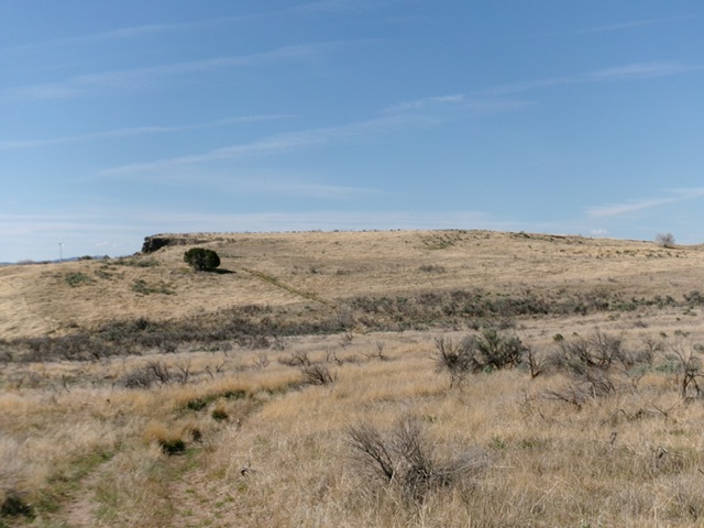
Eagle Rock as viewed from the north. Looks like more of a butte than a rock. Livingston Douglas Photo
Access
From ID-39 just west of the crossing of the American Falls Dam, turn left/south onto [signed] Lamb-Weston Road. Follow it briefly then turn left/south onto [signed] Borah Road. Reset your odometer here. At 1.7 miles, reach a signed junction with Lake Channel Road. Go left/south onto Lake Channel Road. At 6.2 miles, turn off Lake Channel Road into a nice parking area/circle (on the south side of the road). This is public land. Park here [4,355 feet; 42°43’17”N, 112°57’34”W].
North Ridge, Class 2
The Climb
From the parking area, bushwhack south through gapped sagebrush and cattle trails to soon find a fence row heading south directly at Eagle Rock, which is really a butte. Follow the left/east side of this fence row on a cattle trail (to remain on public land). As you near the summit massif, find an old 2-track road and follow it southward to get close to the summit area. Leave this road as it begins to skirt the east side of Eagle Rock. Scramble up easy field grass to the flattish top of the butte. The highest ground boulders of Eagle Rock seem to be at the south end of the small summit area. The summit provides a magnificent view of the nearby Snake River.
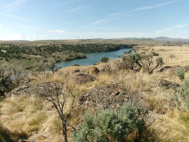
The summit of Eagle Rock with the Snake River in the distance. Livingston Douglas Photo
Additional Resources