Elevation: 4,450 ft
Prominence: 100
This butte is not in the book. Published October 2025
Despite having a small hamlet and USGS quadrangle named for it, Castleford Butte is a very indistinct butte that is located southwest of Balanced Rock and due west of Salmon Falls Creek in Twin Falls County. USGS Castleford Butte
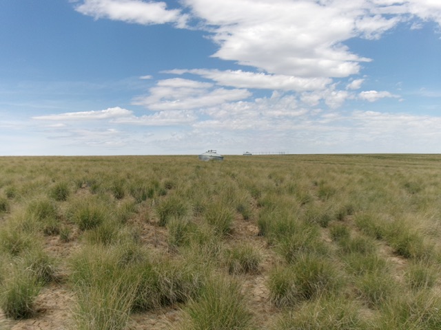
Castleford Butte as viewed from the two water tanks. Livingston Douglas Photo
Access
From Buhl, Idaho, follow US-30 south as it weaves its way to become 3700N. Head west on 3700N/Balanced Rock Road to the Balanced Rock picnic area in Balanced Rock County Park, just up and northwest of the bridge crossing of Salmon Falls Creek. Reset your odometer at this parking/picnic area on the right/north side of the road. Continue driving northwest on Balanced Rock Road/US-30. At 1.1 miles, leave US-30 and drive left-ish onto a good gravel road. This is the continuation of Balanced Rock Road. At 2.9 miles, reach a signed BLM road junction. Go left/south onto a BLM road signed for “Coonskin Butte 20 Miles.” Let’s call it Coonskin Butte Road. Reset your odometer at this junction. At 4.3 miles, park alongside the road at a bend in the road. This bend is at 4,201 feet and 42°30’21.5”N and 114°59’36.6”W.
East Face, Class 2
The Climb
From the road bend, bushwhack west up a rounded shoulder of gapped sagebrush. Once atop this shoulder (at its west end), angle right-ish/west-northwest for a ways and cross a wide gully of sorts. Aim northwest now toward two visible water tanks. Bushwhack through typical sagebrush with gaps to reach the water tanks. Once past the water tanks, find an old 2-track service road that leads west to an old radio tower. Follow an old 2-track road from the radio tower to its end then bushwhack west in thick-ish sagebrush to reach the summit area. Look around and find the USGS benchmark high point of Castleford Butte.
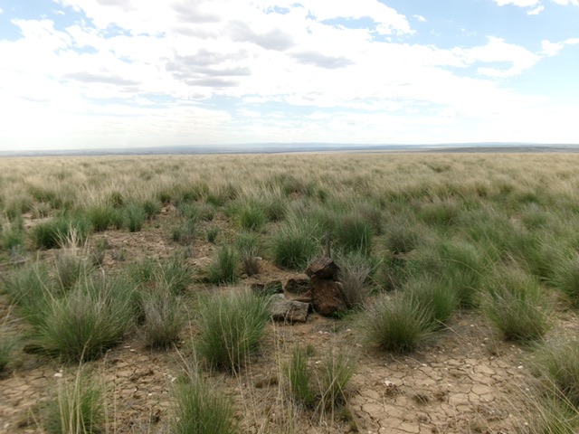
The sagebrush summit of Castleford Butte. Livingston Douglas Photo
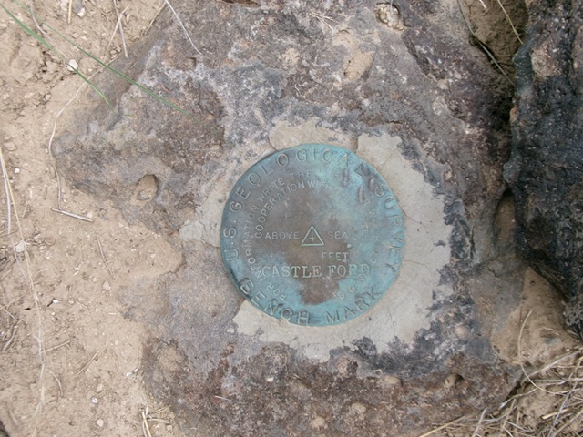
The USGS benchmark atop Castleford Butte. Livingston Douglas Photo
Additional Resources