Elevation: 3,610 ft
Prominence: 80
This butte is not in the book. Published October 2025
Twin Buttes, East and Twin Buttes, West are located several miles southeast of Grindstone Butte along South Grindstone Road. They are an easy scramble from the nearby road. A narrow ridge crest connects the two peaks. USGS Notch Butte
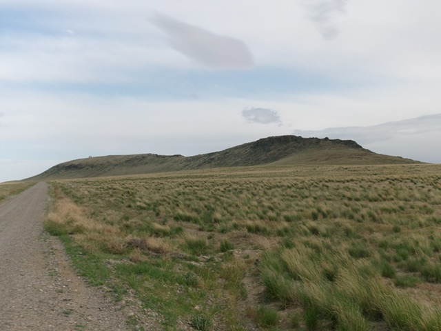
Twin Buttes, West (right of center) and Twin Buttes, East (left of center) as viewed from the north. Livingston Douglas Photo
Access
Same as for Twin Peaks, East. This is the second leg of a 2-peak adventure that includes Twin Peaks, East (3,610 feet) and Twin Peaks, West. It covers 1.5 miles with 425 feet of elevation gain round trip.
Map Errors
The USGS topo map shows a jeep road on the northeast side of the Twin Buttes. That road no longer exists. It also shows a nonexistent jeep road heading northeast away from the Twin Buttes.
Southeast Ridge, Class 1
The Climb
From the 3,530-foot connecting saddle with Twin Buttes, East, follow a good foot trail northwest up the right/northeast side of the ridge crest all the way to the summit. The high point is a large ground boulder with a modest cairn atop it. It is located at the far northwest end of the high ridge, where the ridge begins to descend to the northwest.
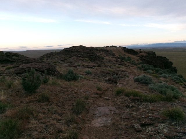
Twin Buttes, West as viewed from the southeast on the high ridgeline. Livingston Douglas Photo
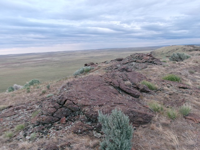
The summit boulder atop Twin Buttes West. Livingston Douglas Photo
Southeast Ridge/Northeast Face, Class 2
The Descent
From the summit, return southeast on the foot trail back to the connecting saddle. Descend the northeast face in reasonable field grass and scrub back to South Grindstone Road.
Additional Resources