Elevation: 5,890 ft
Prominence: 220
This peak is not in the book. Published October 2025
Grassy Hills HP is a drive-up that is located west of the headwaters of Devil Creek. The high point is due north of Little Grassy Hills and west-northwest of Signal Butte. USGS Grassy Hills
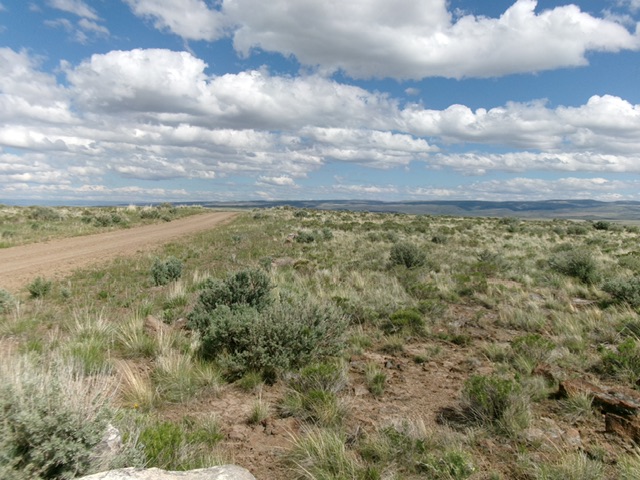
The summit area of Grassy Hills HP with the road coming up over it. Livingston Douglas Photo
Access
From the South: From Rogerson, ID, drive 24.0 miles west then southwest on the Rogerson-Jarbidge Highway to a signed junction with 17-Mile Road. Turn right/north onto 17-Mile Road and drive about 0.7 miles to a road junction. Go left/northwest here and follow a decent BLM road as it meanders its way northwest then west then north then northwest to cross the HP of Grassy Hills.
From the North: Grassy Hills HP can also be reached via decent BLM roads from the north. From the cattle guard crossing on the south side of Coonskin Butte, continue driving south on “Coonskin Butte Road.” At 0.4 miles, reach a signed junction with another good BLM road heading right/northwest for “Crows Nest 23 Miles.” Stay straight on Coonskin Butte Road. At 0.9 miles, reach a signed junction with a good connecting road heading left/east to Big Bend Crossing and Rosemont Road. Stay straight on Coonskin Butte Road. At 11.8 miles, reach the crest of Grassy Hills HP and park.
Southeast Face, Class 1, from the South or Northwest Ridge, Class 1, from the North
The Climb
Park on the road and walk a short distance two separate collections of large boulders, not too far from each other. I’m not sure which boulders are highest so stand on each set of them to be sure that you have captured the high point of Grassy Hills.
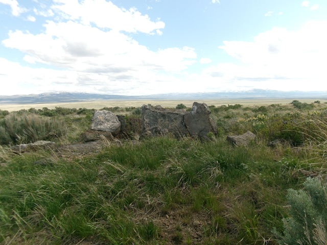
The field grass, sagebrush, and boulders atop Grassy Hills HP. Livingston Douglas Photo
Additional Resources