Elevation: 5,508 ft
Prominence: 98
This butte is not in the book. Published October 2025
Marshall Butte is a rather insignificant hump located south of Big Bend Crossing and southeast of Black Butte in a remote area of the Snake River Plain. It sits on the east side of the Devil Creek drainage and is difficult to get close to. USGS Big Bend Crossing
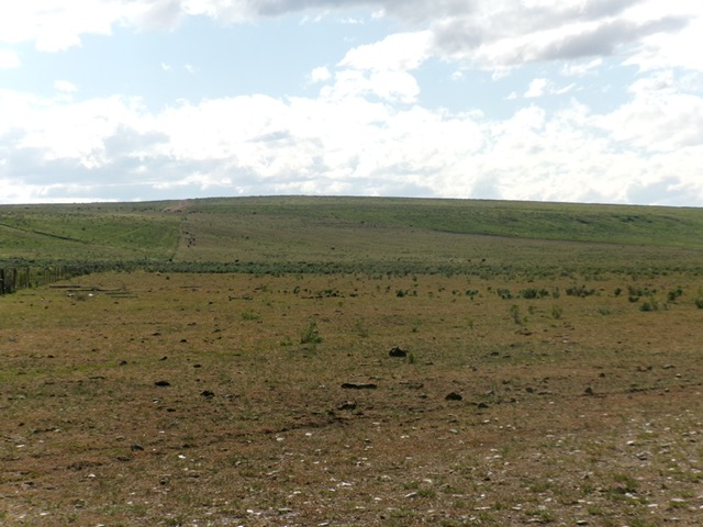
Marshall Butte as viewed from the east (start of hike). Livingston Douglas Photo
Access
Same as for Coonskin Butte. From the cattle guard crossing on the south side of Coonskin Butte, continue driving south on “Coonskin Butte Road.” At 0.4 miles, reach a signed junction with another good BLM road heading right/northwest for “Crows Nest 23 Miles.” Stay straight on Coonskin Butte Road. At 0.9 miles, reach a signed junction with a good connecting road heading left/east to Big Bend Crossing and Roseworth Road. Go left/east onto this connecting road (“Big Bend Crossing Road”) and reset your odometer.
At 4.1 miles, reach a campsite at the bottom of Big Bend Crossing. At 10.8 miles, reach a signed “T” junction with Roseworth Road (which is mis-labeled as 17-Mile Road on maps). Go right/southwest onto Roseworth Road and drive 1.3 miles to an unsigned junction with a decent 2-track road heading right/west toward Marshall Butte. Drive 1.2 miles on this 2-track road to its end at a private ranch and a cattle gate. Park at this gate [5,244 feet; 42°15’33.4”N, 114°59’44.0”W] and obtain permission from the rancher to cross his land and hike up Marshall Butte.
Map Errors
There is no road coming in from the north and heading directly toward the summit. The road heading southeast from Big Bend Cross (that reaches this north road) no longer exists either. There are numerous additional road errors on the USGS topo map. Don’t trust it.
East Face, Class 2
The Climb
From the cattle gate, follow a fence row that heads due west up the east face. Use cattle trails initially then an old 2-track road (shown as a “jeep trail” on the USGS topo map) to reach the southeast side of the summit cap. Leave the road and bushwhack north-northwest to a large, rusted water tank that is on the summit. The terrain is field grass and gapped sagebrush and makes for an easy bushwhack. The water tank seems to be the high point but I could not locate the USGS “Flat Top” benchmark.
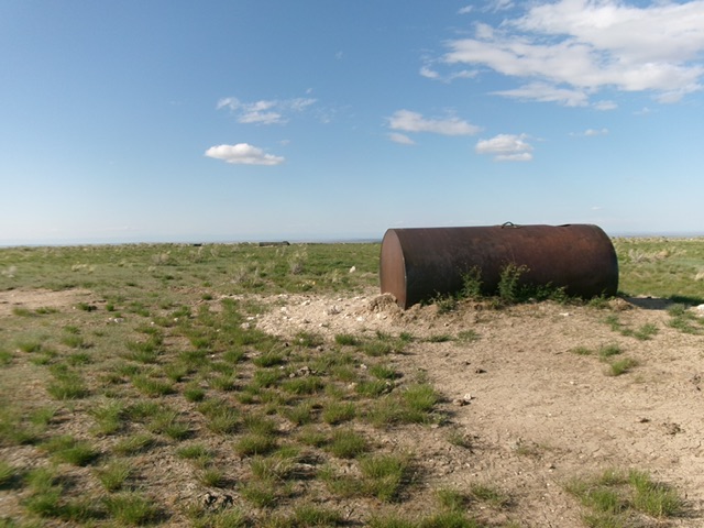
The water tank summit of Marshall Butte. Livingston Douglas Photo
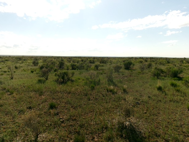
The sagebrush and field grass summit plateau of Marshall Butte. Livingston Douglas Photo
Additional Resources