Elevation: 7,362 ft
Prominence: 542
This peak is not in the book. This peak is on private property and is not open to the public. Published October 2025
Peak 7362 is located on the west side of Blackfoot Reservoir Road, several miles south of Bone and several miles north of Cranes Flat Road. It is on posted, private ranch land and is closed to the public. USGS Poison Creek
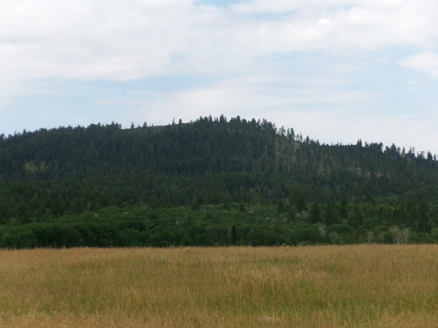
Peak 7362 as viewed from Blackfoot Reservoir Road to its northeast. Livingston Douglas Photo
Access
From Exit 116 (Sunnyside Road) on I-15 in Idaho Falls, drive east on Sunnyside Road to its end at a signed “T” junction with Bone Road. This junction is 9.1 miles east of Ammon Road. Turn right/south onto Bone Road and drive 8.5 miles south to a signed junction with Blackfoot Reservoir Road, 0.3 miles south of Bone. Turn right/west onto Blackfoot Reservoir Road. Drive several miles south to view the east side of Peak 7362.
Additional Resources
Regions: Blackfoot Mountains->SOUTHERN IDAHO
Mountain Range: Blackfoot Mountains
Longitude: -111.8204 Latitude: 43.1892