Elevation: 5,390 ft
Prominence: 220
This butte is not in the book. Published October 2025
Antelope Butte is a double-humped butte that is located in a remote area of the Snake River Plain, northwest of American Falls. It is easily reached on decent roads to within about a mile of the summit. USGS Sunset Lake
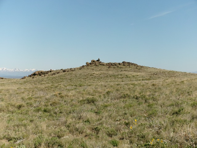
The south face of Antelope Butte (west summit). This was my ascent route. Livingston Douglas Photo
Access
From ID-39 about six miles west of Springfield and about 50 feet west of MM26, turn right/north onto [signed] 2600W/Butte Round Road and reset your odometer. 2600W is a wide, gravel county road that heads north and turns left/west to become [signed] 500S/Coffee Point Road. At 11.5 miles, reach a critical signed junction. This is Coffee Point on maps. From here, a smooth, wide gravel road heads left/west to Rock Lake (8 miles on the BLM sign) for the Split Top climb. Another road continues straight/northwest for the Antelope Butte climb.
Reset your odometer at the Coffee Point junction. Head straight/northwest on a road that leads to the Antelope Butte area. At 2.2 miles, go straight/northwest at an unsigned junction. The road is smooth, fast gravel to this point. At 7.0 miles, reach an unsigned “T” junction (Junction 5194 on maps). Go right/north here. At 9.0 miles, reach a signed “T” junction (Junction 5132 on maps). Turn right/north onto a 2-track road and drive 0.4 miles and park along the road [5,119 feet; 43°14’56”N, 113°06’58”W].
South Face, Class 2
The Climb
From the 2-track road, bushwhack north-northwest across to the west side of a dry gully. From there, climb north up an easy slope of grass and scrub to skirt just below Point 5380 (the southeast summit hump) on its left/southwest side. Continue north-northwest to the cairned northwest summit, which is the high point of Antelope Butte.
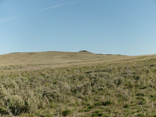
The high point of Antelope Butte as viewed from the southeast. Livingston Douglas Photo

The summit boulders atop Antelope Butte and its tall summit cairn. Livingston Douglas Photo
Additional Resources