Elevation: 4,801 ft
Prominence: 76
This peak is not in the book. Published October 2025
Baldy Knoll is a minor sagebrush hump that is located just west of Lemhi Road (a good county road) in an area of the Snake River Plain that is northwest of Blackfoot, Idaho. This area is a mix of private and public land, so be careful. The summit of Baldy Knoll is on unposted, private land. USGS Baldy Knoll
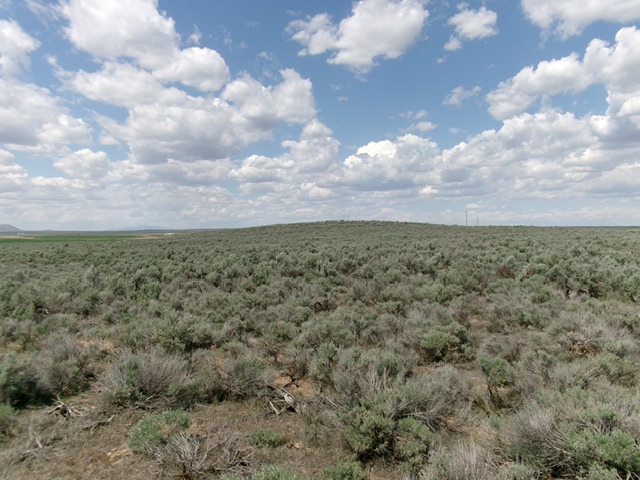
Baldy Knoll (in dead center) as viewed from the south. Livingston Douglas Photo
Access
From US-26 about four miles northwest of I-15 at Blackfoot, turn right/north onto [signed] Lemhi Road/700W and reset your odometer. Drive 7.5 miles up Lemhi Road to a spot on the east side of Baldy Knoll where the road reaches a crest. It is just south of private ranchland. Park here [4,690 feet; 43°19’58”N, 112°26’07”W].
Map Errors
The LOJ map shows a nonexistent jeep road heading due west from Lemhi Road to the summit area.
East Face/South Ridge, Class 2
The Climb
From the pullout along Lemhi Road, cross a stiff cattle fence near the road and bushwhack west through thick-ish sagebrush with gaps. Once you are south of the obvious high point, head right/north up through more thick-ish sagebrush and cross two 2-track roads high up. Cross an easy cattle fence onto unposted private land to reach the open, rocky summit.

The rocky summit of Baldy Knoll. Livingston Douglas Photo
Additional Resources