Elevation: 5,390 ft
Prominence: 100
This butte is not in the book. Published October 2025
Black Butte is located southeast of Coonskin Butte and south-southwest of Big Bend Crossing in a remote area of the Snake River Plain. USGS Big Bend Crossing
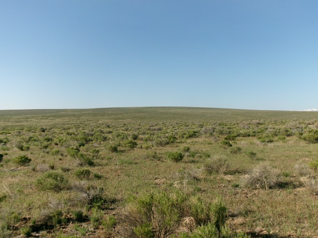
Black Butte as viewed from the north. Livingston Douglas Photo
Access
Same as for Coonskin Butte. From the cattle guard crossing on the south side of Coonskin Butte, continue driving south on “Coonskin Butte Road.” At 0.4 miles, reach a signed junction with another good BLM road heading right/northwest for “Crows Nest 23 Miles.” Stay straight on Coonskin Butte Road. At 0.9 miles, reach a signed junction with a good connecting road heading left/east to Big Bend Crossing and Roseworth Road. Turn left onto this road (“Big Bend Crossing Road”) and drive 2.6 miles. Park alongside the road here [4,950 feet; 42°19’17.8”N, 115°05’44.1”W]. This spot is due north of the summit area of Black Butte.
Map Errors
Most of the roads shown on the USGS topo map on the north side of Black Butte no longer exist. Don’t trust the USGS topo map for accurate road placements in this area.
The Climb
From the parking spot along Big Bend Crossing Road, bushwhack south through a mix of gapped sagebrush, clumpy field grass, and short bare areas to reach the flattish summit cap. Early on, there is a high, stiff cattle fence to cross and then a 45-foot descent to cross a broad gully. The high point of Black Butte is somewhat obvious. I built a cairn on the highest ground boulder. LOJ places the high point too far to the east.
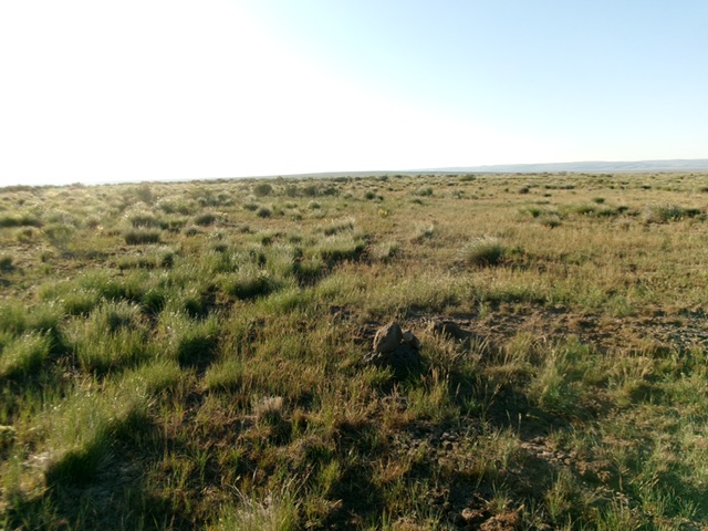
The summit of Black Butte. Livingston Douglas Photo
Additional Resources