Elevation: 3,163 ft
Prominence: 50
This peak is not in the book. Published October 2025
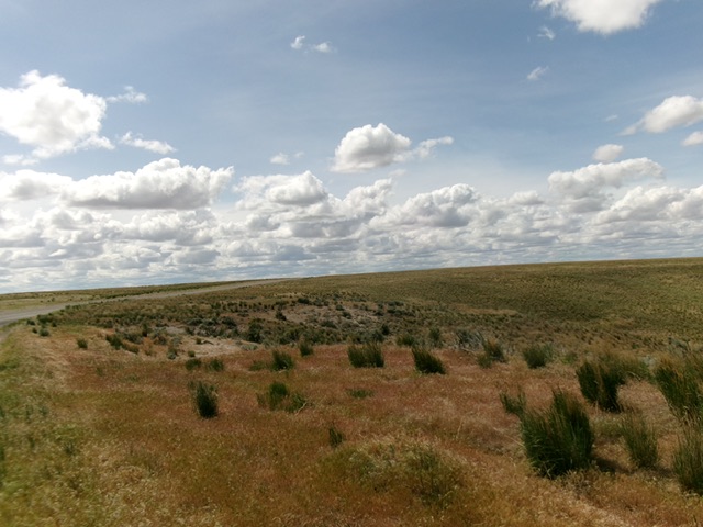
Black Mesa HP is the high point of the massive Black Mesa that lies mostly to the north. This high point is located due east of Flint Mesa. USGS Twentymile Butte
Black Mesa as viewed from the northwest. Livingston Douglas Photo
Access
From Exit 125 on I-84, head south toward Paradise Valley. This is North Coblantz Road, unsigned at this point. At 2.4 miles, reach a “T” junction. Go left/southeast onto [signed] Pasadena Valley Road. At 3.7 miles, go right/southwest onto [signed] East Black Mesa Road. At 9.1 miles, reach a signed junction with Bell Rapids Road. Go right/south onto Bell Rapids Road and drive 3.2 miles to the crossing of Black Mesa Park alongside the road here [42°51’59.0”N, 115°10’27.5”W].
Map Errors
The Oregon Trail on the east side of Bell Rapids Road no longer exists. Many of the side roads off Bell Rapids Road no longer exist. Don’t trust the USGS topo map for accuracy on roads in this area.
North Face, Class 1
The Climb
Bell Rapids Road crosses the high point of Black Mesa. Step out of your vehicle to claim the summit.
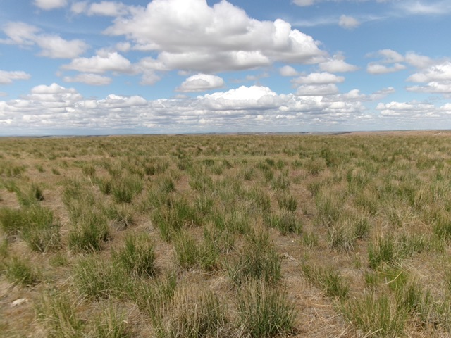
The sagebrush summit of Black Mesa. Livingston Douglas Photo
Additional Resources