Elevation: 3,152 ft
Prominence: 62
This peak is not in the book. Published October 2025
Black Rocks is a rocky mess located on the west side of ID-51 about 11 miles south of Bruneau. Finding the high point amongst the endless rocky outcrops is a bit of a challenge. Surprisingly, the summit is a grassy hump rather than a black rocky outcrop. USGS Hole in Rock
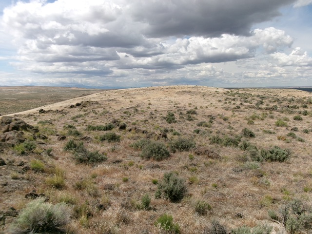
Looking northwest toward Black Rocks early in the climb. Livingston Douglas Photo
Access
Find a spur road (shown on maps) along ID-51 south of Bruneau. This spur road is at virtual MM58.35 and is 11.2 miles south of the junction of ID-51 and ID-78 west of Bruneau. Drive about 50 yards southwest on this spur road and park [3,183 feet;42°44’08.7”N, 115°54’07.1”W].
Southeast Ridge, Class 2
The Climb
From the improvised parking spot on the spur road, head west downhill. Bend right-ish/northwest and go up and down several hills to reach an area of black rocks. Keep heading northwest or west to finally reach the high point in an area that has several black rock outcrops. But the high point is a gentle, grassy hump with no rocks. That was a real surprise.
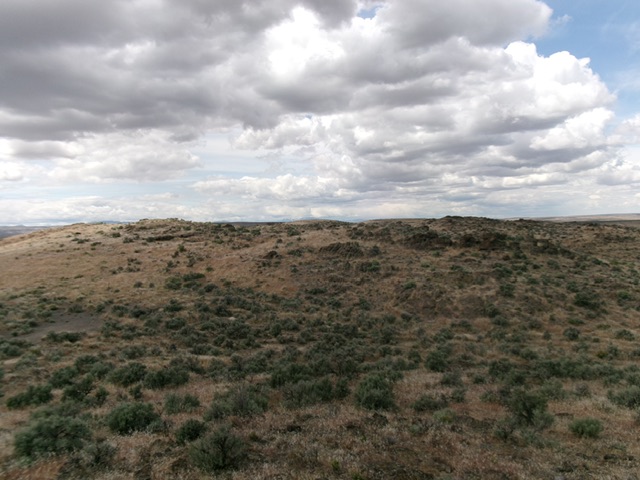
The grassy hump of Black Rocks HP as viewed from the southeast. Livingston Douglas Photo
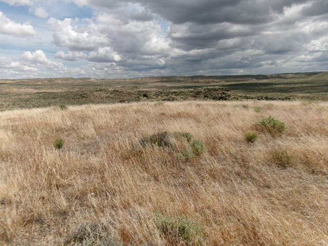
The grassy summit of Black Rocks HP. Livingston Douglas Photo
Additional Resources