Elevation: 4,300 ft
Prominence: 110
This butte is not in the book. Published October 2025
Brown Butte is a minor hump that is located just off the east side of US-93/US-26. It is easily approached on a 2-track BLM road. This climb is entirely on BLM land. USGS Dietrich Butte
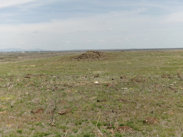
Brown Butte as viewed from the southwest. Livingston Douglas Photo
Access
From US-93/US-26 about nine miles northeast of Shoshone (at virtual MM175.8), turn southeast off the highway onto a crude 2-track road. Reset your odometer here. At ¼ mile, go left at an unsigned junction. At ½ mile, park at a weaker, unsigned junction [4,166 feet; 42°59’36.5”N, 114°13’47.3”W].
Southwest Face, Class 2
The Climb
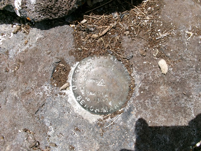
From the road junction, follow the left fork road as it drops 15-20 feet to cross a minor gully. Continue heading northeast in easy, gapped field grass and come up over a minor scrub/grass headwall. Scramble northeast from here to reach a crater rim (of sorts) and finally see the rocky summit outcrop. Head directly to it and scramble up its rocky right/east side to the summit blocks. The USGS benchmark is still here.
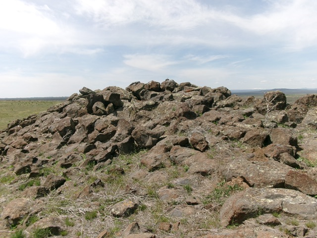
The rocky summit of Brown Butte. Livingston Douglas Photo
The USGS benchmark atop Brown Butte. Livingston Douglas Photo
Additional Resources