Elevation: 5,291 ft
Prominence: 166
This butte is not in the book. Published October 2025
Buster Butte is located along Roland Road only two miles from ID-51 to its west. It is a sagebrush hump that requires some bashing to reach. USGS Buster Butte
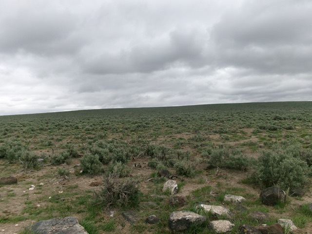
The southwest face of Buster Butte as viewed from Roland Road (start of hike). Livingston Douglas Photo
Access
Roland Road (signed) is located along ID-51 exactly 0.4 miles south of Grasmere. Drive southeast on Roland Road (a well-maintained gravel road) for 2.1 miles to a cattle guard/fence crossing at BM5135 (map). Park in a pullout on the southwest side of Roland Road at the cattle guard crossing [5,135 feet (map) and 42°20’54.7”N, 115°51’19.4”W].
Southwest Face, Class 2
The Climb
From the pullout, bushwhack northeast up through thick-ish sagebrush to reach the summit area. Head left/north for a short distance to the large summit cairn. There is a triangulation tripod nearby. I could not find the USGS “Grasmere” benchmark but it may be underneath the tall summit cairn.
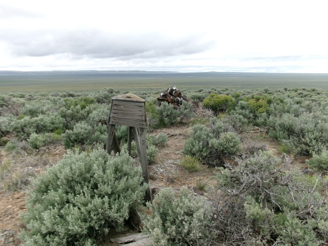
The summit of Buster Butte. Livingston Douglas Photo
Additional Resources